Cresson | |
|---|---|
 Cresson  Cresson | |
| Coordinates: 44°06′40″N 96°26′07″W / 44.11111°N 96.43528°W | |
| Country | United States |
| State | Minnesota |
| County | Pipestone |
| Elevation | 1,673 ft (510 m) |
| Time zone | UTC-6 (Central (CST)) |
| • Summer (DST) | UTC-5 (CDT) |
| Area code | 507 |
| GNIS feature ID | 654655[1] |
Cresson is an unincorporated community located in Pipestone County, Minnesota, United States. The elevation is 1,673 feet. Cresson appears on the Elkton SW U.S. Geological Survey Map.[2][1]
Close to the adjacent states of South Dakota to the west and Iowa to the south, Cresson lies in rural southwest Minnesota near the Pipestone National Monument, a National Park Service property established in 1937. The monument's 301 acres protect tallgrass prairie and quarries of red pipestone, or catlinite, traditionally used by Native Americans to make pipes.[3]
References
External links
Municipalities and communities of Pipestone County, Minnesota, United States | ||
|---|---|---|
| Cities | 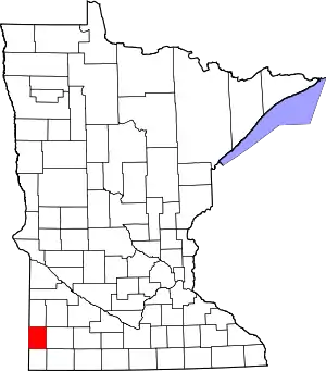 Map of Minnesota highlighting Pipestone County | |
| Townships | ||
| Unincorporated communities | ||
| Footnotes | ‡This populated place also has portions in an adjacent county or counties | |
This article is issued from Wikipedia. The text is licensed under Creative Commons - Attribution - Sharealike. Additional terms may apply for the media files.