| Creu de Santos | |
|---|---|
| Xàquera | |
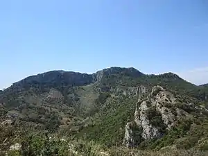 View of the Creu de Santos (or Xàquera) summit | |
| Highest point | |
| Elevation | 941 m (3,087 ft) |
| Prominence | 697 m (2,287 ft) |
| Isolation | 18.15 km (11.28 mi) to Tossal d'Engrilló |
| Listing | Mountains in Catalonia |
| Coordinates | 40°56′25.88″N 0°35′9.77″E / 40.9405222°N 0.5860472°E |
| Geography | |
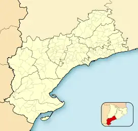 Creu de Santos Location 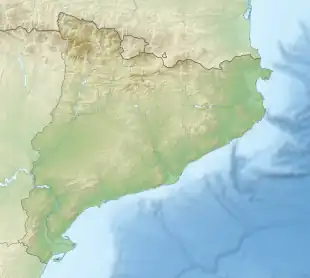 Creu de Santos Creu de Santos (Catalonia) | |
| Location | Tivenys, Benifallet, and Rasquera, Catalonia, Spain |
| Parent range | Serra de Cardó |
| Climbing | |
| Easiest route | Walk |
Creu de Santos or Xàquera is the highest mountain of the Serra de Cardó range, Catalonia, Spain. The Serra de Cardó is part of the Massís de Cardó, Catalan Pre-Coastal Range. This mountain has an elevation of 941 metres above sea level.[1]
See also
References
- ↑ "Mapa Topogràfic de Catalunya". Institut Cartogràfic de Catalunya. Retrieved May 22, 2010..
This article is issued from Wikipedia. The text is licensed under Creative Commons - Attribution - Sharealike. Additional terms may apply for the media files.