| Curtisden Green | |
|---|---|
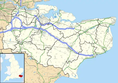
 Oast houses on Curtisden Green Lane | |
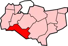
 Curtisden Green Location within Kent | |
| OS grid reference | TQ745405 |
| District | |
| Shire county | |
| Region | |
| Country | England |
| Sovereign state | United Kingdom |
| Post town | Cranbrook |
| Postcode district | TN17 |
| Police | Kent |
| Fire | Kent |
| Ambulance | South East Coast |
| UK Parliament | |
Curtisden Green is a hamlet, lying 3 miles (4.8 km) to the north of Goudhurst, Kent, England.[1] [2] It is the location of Bethany School.
References
- ↑ Ordnance Survey: Landranger map sheet 188 Maidstone & Royal Tunbridge Wells (Sevenoaks & Tonbridge) (Map). Ordnance Survey. 2014. ISBN 9780319228814.
- ↑ "Ordnance Survey: 1:50,000 Scale Gazetteer" (csv (download)). www.ordnancesurvey.co.uk. Ordnance Survey. 1 January 2016. Retrieved 18 February 2016.
External links
![]() Media related to Curtisden Green at Wikimedia Commons
Media related to Curtisden Green at Wikimedia Commons
Places adjacent to Curtisden Green | ||||||||||||||||
|---|---|---|---|---|---|---|---|---|---|---|---|---|---|---|---|---|
| ||||||||||||||||
This article is issued from Wikipedia. The text is licensed under Creative Commons - Attribution - Sharealike. Additional terms may apply for the media files.