Czarna Woda | |
|---|---|
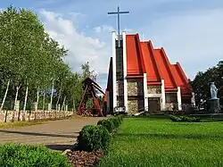 Our Lady of Częstochowa church in Czarna Woda | |
 Coat of arms | |
 Czarna Woda | |
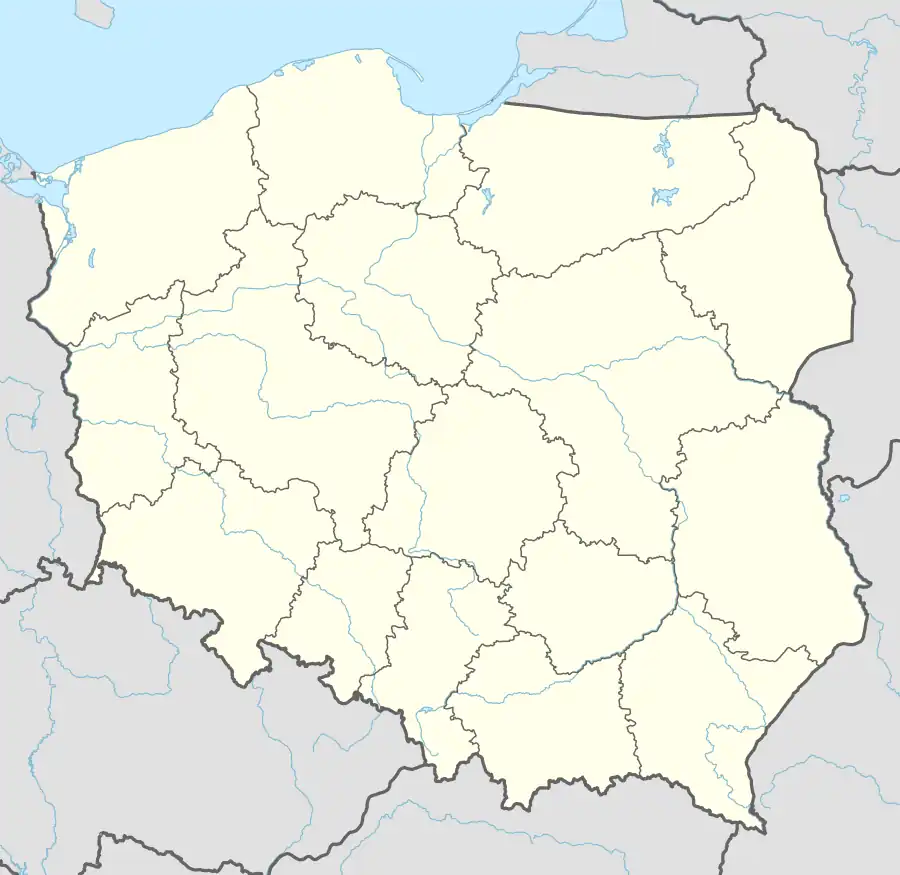
| Coordinates: 53°50′N 18°6′E / 53.833°N 18.100°E | |
| Country | |
| Voivodeship | Pomeranian |
| County | Starogard |
| Gmina | Czarna Woda (urban gmina) |
| Town rights | 1993[1] |
| Government | |
| • Mayor | Arkadiusz Piotr Gliniecki[1] |
| Area | |
| • Total | 9.9 km2 (3.8 sq mi) |
| Population (31 December 2021[2]) | |
| • Total | 2,735 |
| • Density | 280/km2 (720/sq mi) |
| Time zone | UTC+1 (CET) |
| • Summer (DST) | UTC+2 (CEST) |
| Postal code | 83-262 |
| Area code | +48 58 |
| Vehicle registration | GST |
| Website | http://www.czarna-woda.pl |
Czarna Woda [ˈt͡ʂarna ˈvɔda] (Kashubian: Czôrnô Wòda; formerly German: Schwarzwasser) is a town in Starogard County, Pomeranian Voivodeship, Poland, with 2,735 inhabitants as of December 2021.[2] It is located within the ethnocultural region of Kociewie.
The town's name translates to "Black Water".
Gallery
 Railway bridge over Wda river in Czarna Woda
 Municipal Library
 Mickiewicza Street in Czarna Woda
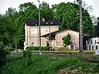 Railway station
References
- 1 2 "Czarna Woda (pomorskie)". Polska w liczbach (in Polish). Retrieved 23 October 2019.
- 1 2 "Local Data Bank". Statistics Poland. Retrieved 2022-07-27. Data for territorial unit 2213014.
| Urban gminas |
|  |
|---|---|---|
| Urban-rural gmina | ||
| Rural gminas | ||
This article is issued from Wikipedia. The text is licensed under Creative Commons - Attribution - Sharealike. Additional terms may apply for the media files.