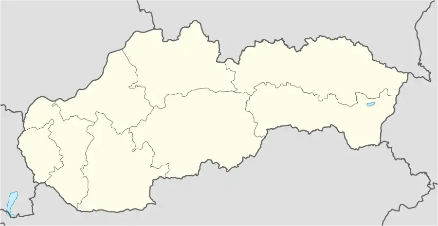
 Shown within Slovakia | |
| Location | Zemplín, Slovakia |
|---|---|
| Coordinates | 48°26′N 21°49′E / 48.44°N 21.81°E |
| Altitude | 220 m (722 ft) |
| Site notes | |
| Condition | Ruined |
It was a Dacian fortified town. The Dacian name is Susudava.

| Tribes (List) | |||||||||||||||||
|---|---|---|---|---|---|---|---|---|---|---|---|---|---|---|---|---|---|
| Kings |
| ||||||||||||||||
| |||||||||||||||||
Wars with the Roman Empire |
| ||||||||||||||||
| Roman Dacia / Free Dacians |
| ||||||||||||||||
| Research |
| ||||||||||||||||
| |||||||||||||||||
This article is issued from Wikipedia. The text is licensed under Creative Commons - Attribution - Sharealike. Additional terms may apply for the media files.