Dahr Abi Yaghi
ضهر أبي ياغي | |
|---|---|
Village | |
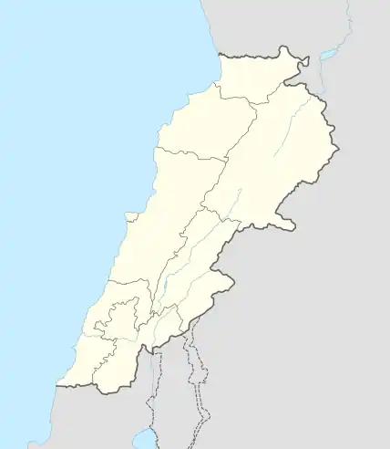 Dahr Abi Yaghi Location within Lebanon | |
| Coordinates: 34°11′24″N 35°43′36″E / 34.19005°N 35.726675°E | |
| Country | |
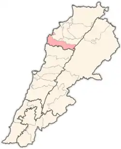
| Governorate | North Lebanon |
| District | Batroun |
| Area | |
| • Total | 0.78 km2 (0.30 sq mi) |
| Elevation | 500 m (1,600 ft) |
| Time zone | UTC+2 (EET) |
| • Summer (DST) | UTC+3 (EEST) |
| Dialing code | +961 |
Dahr Abi Yaghi (Arabic: ضهر أبي ياغي) is a village in Batroun District, North Governorate, Lebanon.[1][2] It is geographically located on the southern border of the North Governorate near the village of Masrah. There were 138 voters in the town during the 2009 legislative elections,[3] 148 voters in 2014[4] and 151 voters in 2017.
References
- ↑ "final_ville_web directory listing". archive.org. Retrieved 2023-03-17.
- ↑ "Node: Dahr Abi Yaghi (6206543178)". OpenStreetMap. Retrieved 2023-03-10.
- ↑ "Dahr Abi Yaghi | Drupal". www.libandata.org. Retrieved 2023-03-03.
- ↑ "معلومات عن بلدة ضهر ابو ياغي - Dahr Abi Yaghi، قضاء البترون في محافظة الشمال، حسب لوائح الناخبين الرسمية الصادرة عن وزارة الداخلية اللبنانية لسنة ٢٠١٤". إعْرَفْ لبنان. Retrieved 2023-03-03.
Capital: Batroun | ||
| Towns and villages |
|  |
This article is issued from Wikipedia. The text is licensed under Creative Commons - Attribution - Sharealike. Additional terms may apply for the media files.