Dammapeta
Dhanampeta | |
|---|---|
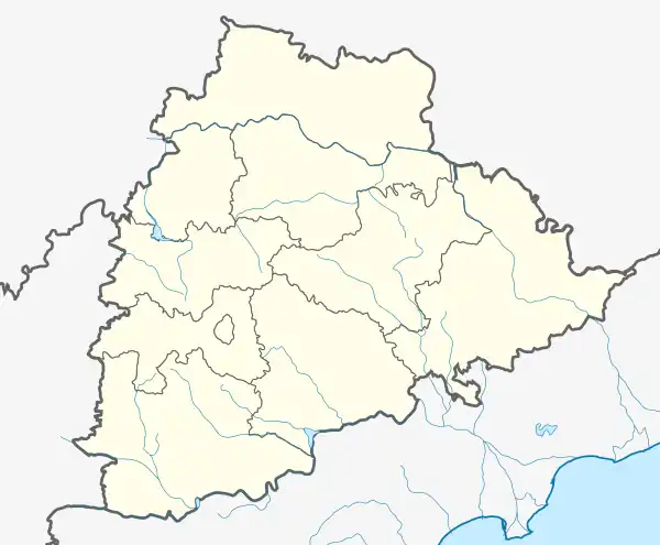 Dammapeta Location in Telangana, India  Dammapeta Dammapeta (India) | |
| Coordinates: 17°16′00″N 81°01′00″E / 17.2667°N 81.0167°E | |
| Country | |
| State | Telangana |
| District | Bhadradri Kothagudem |
| Elevation | 267 m (876 ft) |
| Languages | |
| • Official | Telugu |
| Time zone | UTC+5:30 (IST) |
| Vehicle registration | TS |
| Nearest city | Khammam |
| Lok Sabha constituency | Khammam |
| Vidhan Sabha constituency | Aswaraopeta |
| Climate | hot (Köppen) |
| Website | telangana |
Dammapeta is a mandal in Bhadradri Kothagudem district, Telangana.[1]
Geography
Dammapeta is located at 17°16′00″N 81°01′00″E / 17.2667°N 81.0167°E.[2] It has an average elevation of 206 metres (679 ft).
References
- ↑ "District Administration – Formation/Reorganization of District, Revenue Divisions and Mandals in Badradri District at Kothagudem – Final Notification - Orders – Issued" (PDF). Bhadradri Kothagudem District. Archived from the original (PDF) on 1 August 2017. Retrieved 22 July 2017.
- ↑ Dammapeta at Fallingrain.com
This article is issued from Wikipedia. The text is licensed under Creative Commons - Attribution - Sharealike. Additional terms may apply for the media files.