Damphreux-Lugnez | |
|---|---|
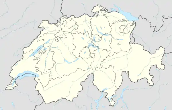
Location of Damphreux-Lugnez | |
 Damphreux-Lugnez 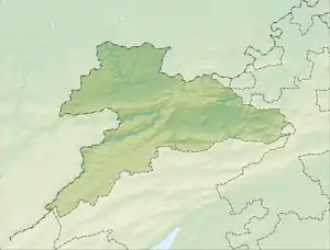 Damphreux-Lugnez | |
| Coordinates: 47°29′05″N 07°05′55″E / 47.48472°N 7.09861°E | |
| Country | Switzerland |
| Canton | Jura |
| District | Porrentruy |
| Government | |
| • Mayor | Maire |
| Area | |
| • Total | 10.77 km2 (4.16 sq mi) |
| Elevation | 411 m (1,348 ft) |
| Population (2020) | |
| • Total | 369 |
| • Density | 34/km2 (89/sq mi) |
| Time zone | UTC+01:00 (Central European Time) |
| • Summer (DST) | UTC+02:00 (Central European Summer Time) |
| Postal code(s) | 2933 |
| SFOS number | 6811 |
| Surrounded by | Beurnevésin, Bonfol, Vendlincourt, Coeuve, Courtemaîche, Montignez, Réchésy (F), Courcelles (F) |
| Website | website missing SFSO statistics |
Damphreux-Lugnez is a municipality in the district of Porrentruy in the canton of Jura in Switzerland. It was established on 1 January 2023 with the merger of the municipalities of Damphreux and Lugnez.
History
Damphreux was first mentioned in 1161 as Damfriol.[1] Lugnez was first mentioned around 501-600 as Lugduniaco. In 1225, it was mentioned as Lunigie.[2] On 1 January 2023, these two municipalities were merged to form the new municipality of Damphreux-Lugnez.[3]
References
- ↑ Damphreux in German, French and Italian in the online Historical Dictionary of Switzerland.
- ↑ Lugnez in German, French and Italian in the online Historical Dictionary of Switzerland.
- ↑ "Applikation der Schweizer Gemeinden – Laufende Projekte". www.agvchapp.bfs.admin.ch. Retrieved 18 April 2022.
External links
Municipalities in Porrentruy District, Switzerland | ||
|---|---|---|
This article is issued from Wikipedia. The text is licensed under Creative Commons - Attribution - Sharealike. Additional terms may apply for the media files.