| Diamond Mountains | |
|---|---|
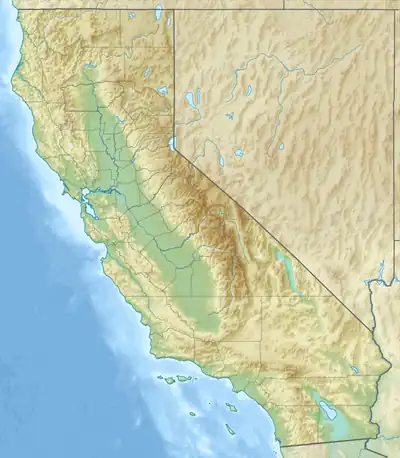 Location of Thompson Peak in the Diamond Mountains | |
| Highest point | |
| Peak | Adams Peak |
| Elevation | 8,199 ft (2,499 m) |
| Geography | |
| Country | United States |
| State | California |
| Region | northern Sierra Crest |
| County | Plumas County |
| Range coordinates | 40°15′40.630″N 120°33′26.804″W / 40.26128611°N 120.55744556°W[1] |
| Parent range | Sierra Nevada (U.S.) |
| Borders on | SW of Honey Lake Valley[2] |
| Topo map | USGS Janesville |
| Geology | |
| Type of rock | Granitic |
| Climbing | |
| Access | Diamond Mountain Trail |
The Diamond Mountains is a mountain range in Lassen and Plumas counties, California, one of the northeasternmost portions of the Sierra Nevada.[3]
Notable features
- Diamond Mountain
- Thompson Peak and Lookout
- Black Mountain and Lookout
- Meadow View Peak
- Crystal Peak
- Adams Peak
- Beckwourth Pass
- Headwaters of Indian and Last Chance Creeks
See also
References
- ↑ "Diamond Mountains, Plumas County CA". MountainZone. Retrieved 7 October 2022.
- ↑ David L. Durham (1998). California's Geographic Names. Word Dancer Press.
- ↑ "Diamond Mountains". Geographic Names Information System. United States Geological Survey, United States Department of the Interior. Retrieved 4 May 2009.
- "Diamond Mountains". US Forest Service.
- "Diamond Mountain District". Western Mining History.
- Diller, J.S. (1908). "Geology of the Taylorsville Region, California". USGS. Bulletin 354: 9, 10.
This article is issued from Wikipedia. The text is licensed under Creative Commons - Attribution - Sharealike. Additional terms may apply for the media files.