Dilolo | |
|---|---|
 Dilolo | |
| Coordinates: 10°41′12″S 22°20′37″E / 10.6866°S 22.3435°E | |
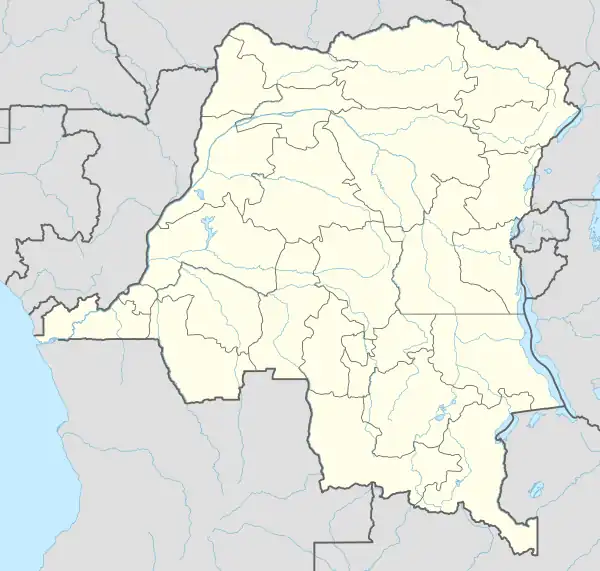
| Country | |
| Province | Lualaba |
| Area | |
| • Total | 24,963 km2 (9,638 sq mi) |
| Population (2020)[1] | |
| • Total | 333,852 |
| • Density | 13/km2 (35/sq mi) |
| Time zone | UTC+2 (CAT) |
Dilolo is a territory in the Lualaba Province of the Democratic Republic of the Congo.
Communities: Dilolo
References
- 1 2 "Cellule d'Analyses des Indicateurs de Développement". caid.cd (in French). Archived from the original on 2021-04-30. Retrieved 2023-03-26.
This article is issued from Wikipedia. The text is licensed under Creative Commons - Attribution - Sharealike. Additional terms may apply for the media files.