| Do Sono River Rio do Sono | |
|---|---|
 | |
| Location | |
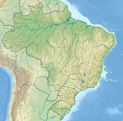
| Country | Brazil |
| Physical characteristics | |
| Source | |
| • location | Tocantins state |
| • coordinates | 10°10′56″S 46°56′10″W / 10.182131°S 46.936068°W |
| Mouth | |
• location | Tocantins River, Pedro Afonso, Tocantins |
• coordinates | 8°57′35″S 48°10′34″W / 8.959754°S 48.175988°W |
| Basin features | |
| Tributaries | |
| • left | Novo River |
| • right | Soninho River |
The Do Sono River (Portuguese: Rio do Sono) is a river of Tocantins state in central Brazil. It is a right tributary of the Tocantins River.
The river has its headwater in the 158,885 hectares (392,610 acres) Jalapão State Park, a fully protected conservation unit created in 2001.[1] It forms where the Novo and Soninho meet on the northwest boundary of the state park.
See also
References
- ↑ PES do Jalapão (in Portuguese), ISA: Instituto Socioambiental, retrieved 2016-06-11
This article is issued from Wikipedia. The text is licensed under Creative Commons - Attribution - Sharealike. Additional terms may apply for the media files.