| Doi Lan | |
|---|---|
| ดอยลาน | |
 Doi Lan as viewd from Tap Tao | |
| Highest point | |
| Elevation | 559 m (1,834 ft)[1] |
| Listing | List of mountains in Thailand |
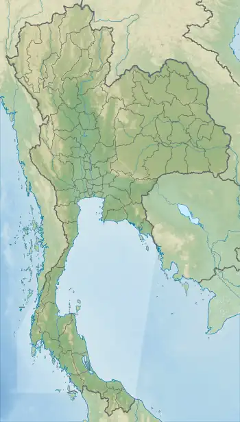
| Coordinates | 19°40′30.3″N 99°56′36.6″E / 19.675083°N 99.943500°E[2] |
| Geography | |
 Doi Lan | |
| Parent range | Phi Pan Nam Range |
| Climbing | |
| First ascent | unknown |
Doi Lan (Thai: ดอยลาน) is a mountain in Thailand, part of the Phi Pan Nam Range, in the center of Chiang Rai Province, south of Chiang Rai Town.[3] With a height of 559 metres (1,834 ft) Doi Lan gives its name to the Doi Lan Subdistrict of Mueang Chiang Rai District.
This mountain is a small karstic mountain that rises north of the Buddhist temple named Phrathat Doi Lan after it.[4]
See also
References
- ↑ Google Earth
- ↑ Google Earth
- ↑ "Doi Lan". Mapcarta. Retrieved 21 October 2017.
- ↑ "Phrathat Doi Lan". Mapcarta. Retrieved 21 October 2017.
This article is issued from Wikipedia. The text is licensed under Creative Commons - Attribution - Sharealike. Additional terms may apply for the media files.