Dol pri Borovnici | |
|---|---|
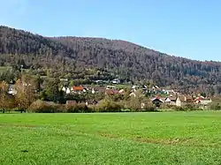 | |
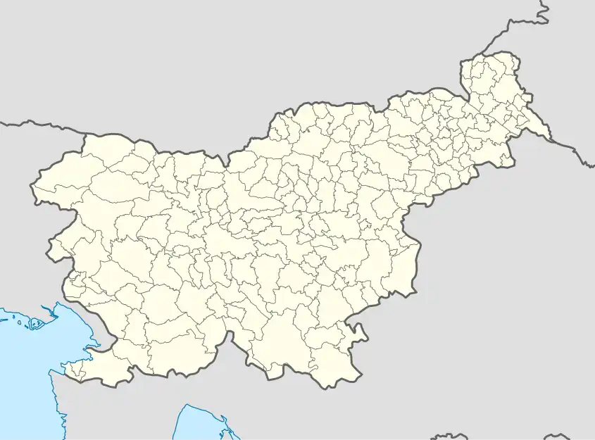 Dol pri Borovnici Location in Slovenia | |
| Coordinates: 45°55′46.28″N 14°21′11.55″E / 45.9295222°N 14.3532083°E | |
| Country | |
| Traditional region | Inner Carniola |
| Statistical region | Central Slovenia |
| Municipality | Borovnica |
| Area | |
| • Total | 6.09 km2 (2.35 sq mi) |
| Elevation | 291.6 m (956.7 ft) |
| Population (2020) | |
| • Total | 517 |
| • Density | 85/km2 (220/sq mi) |
| [1] | |
Dol pri Borovnici (pronounced [ˈdóːl pɾi bɔɾɔwˈnìːtsi, ˈdóːw -]; in older sources also Dole[2]) is a settlement north of Borovnica in the Inner Carniola region of Slovenia. It extends from the right bank of the Ljubljanica River to the outskirts of Borovnica.[3]
Name
The name of the settlement was changed from Dol to Dol pri Borovnici in 1953.[4]
References
- ↑ Statistical Office of the Republic of Slovenia
- ↑ Leksikon občin kraljestev in dežel zastopanih v državnem zboru, vol. 6: Kranjsko. 1906. Vienna: C. Kr. Dvorna in Državna Tiskarna, p. 116.
- ↑ Borovnica municipal site
- ↑ Spremembe naselij 1948–95. 1996. Database. Ljubljana: Geografski inštitut ZRC SAZU, DZS.
External links
 Media related to Dol pri Borovnici at Wikimedia Commons
- Dol pri Borovnici on Geopedia
| Settlements | 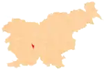 Location of the Municipality of Borovnica in Slovenia | |
|---|---|---|
| Landmarks |
| |
This article is issued from Wikipedia. The text is licensed under Creative Commons - Attribution - Sharealike. Additional terms may apply for the media files.