Donjimeno | |
|---|---|
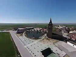 Airview | |
 Flag  Seal | |
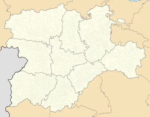 Donjimeno Location in Spain.  Donjimeno Donjimeno (Spain) | |
| Coordinates: 40°57′35″N 4°50′43″W / 40.95972°N 4.84528°W | |
| Country | |
| Autonomous community | |
| Province | |
| Area | |
| • Total | 14.75 km2 (5.70 sq mi) |
| Elevation | 883 m (2,897 ft) |
| Population (2018)[1] | |
| • Total | 79 |
| • Density | 5.4/km2 (14/sq mi) |
| Time zone | UTC+1 (CET) |
| • Summer (DST) | UTC+2 (CEST) |
| Website | Official website |
Donjimeno (Spanish pronunciation: [doŋxiˈmeno]) is a municipality located in the province of Ávila, Castile and León, Spain. According to the 2004 census (INE), the municipality had a population of 130 inhabitants.
References
- ↑ Municipal Register of Spain 2018. National Statistics Institute.
This article is issued from Wikipedia. The text is licensed under Creative Commons - Attribution - Sharealike. Additional terms may apply for the media files.