Dougherty, Texas | |
|---|---|
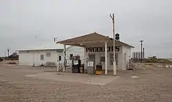 Gas station in Dougherty | |
 Dougherty  Dougherty | |
| Coordinates: 33°56′30″N 101°05′12″W / 33.94167°N 101.08667°W | |
| Country | United States |
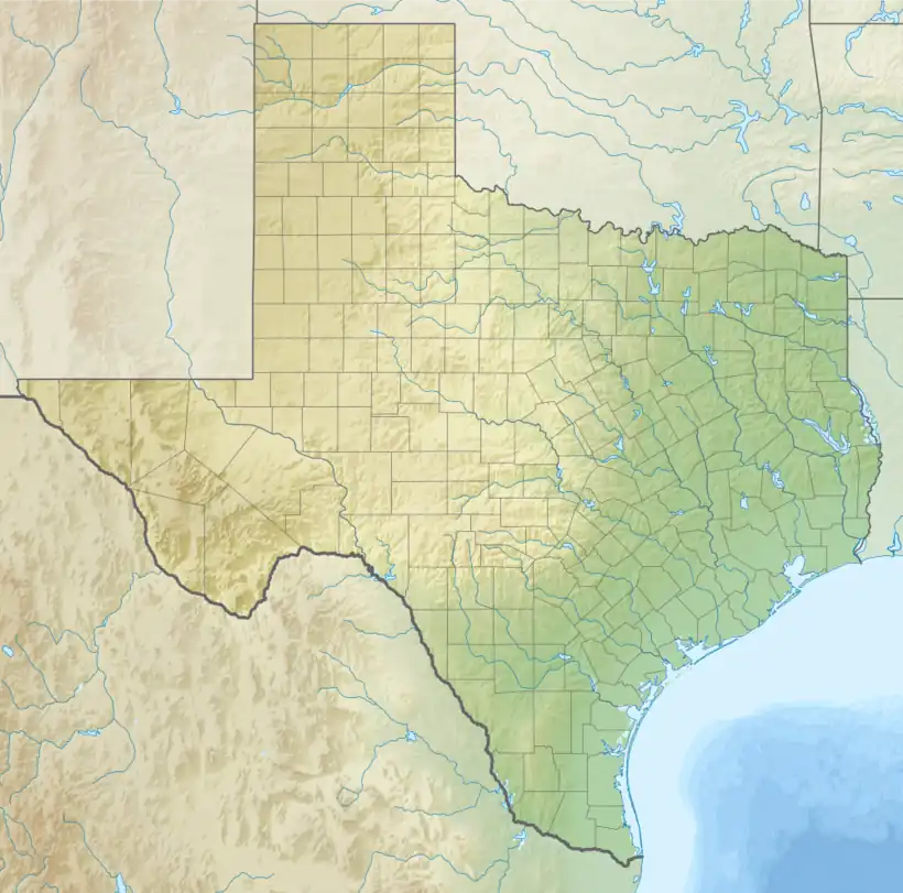
| State | Texas |
| County | Floyd |
| Region | Llano Estacado |
| Elevation | 3,077 ft (938 m) |
| Population | |
| • Total | 109 |
| Time zone | UTC-6 (Central (CST)) |
| • Summer (DST) | UTC-5 (CDT) |
| Area code | 806 |
| GNIS feature ID | 1356209 |
| Website | Handbook of Texas |
Dougherty (formerly Doughtery) is a small unincorporated community in Floyd County, Texas, United States.
History
Dougherty was established in 1928 and named for Francis M. Dougherty.[2] A school was built in 1929.[2]
Geography
Dougherty is located on the high plains of the Llano Estacado in West Texas. It lies at an elevation of 3,077 ft (938 m).[1]
Education
It is within the Floydada Independent School District. The Dougherty Independent School District consolidated into the former on July 1, 1987.[3]
See also
References
- 1 2 "Dougherty". Geographic Names Information System. United States Geological Survey, United States Department of the Interior.
- 1 2 3 William R. Hunt, "Dougherty TX (Floyd County)," Handbook of Texas Online, https://tshaonline.org/handbook/online/articles/hld34, accessed November 11, 2012, Published by the Texas State Historical Association.
- ↑ "CONSOLIDATIONS, ANNEXATIONS AND NAME CHANGES FOR TEXAS PUBLIC SCHOOLS" (PDF). Texas Education Agency. September 10, 2018. Retrieved October 30, 2019.
External links
- U.S. Geological Survey Geographic Names Information System: Dougherty
- Dougherty, TX from the Handbook of Texas Online
- Public domain photos of West Texas and the Llano Estacado Archived 2017-08-09 at the Wayback Machine
Municipalities and communities of Floyd County, Texas, United States | ||
|---|---|---|
| City | 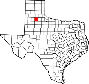 Floyd County map | |
| Town | ||
| Unincorporated communities | ||
This article is issued from Wikipedia. The text is licensed under Creative Commons - Attribution - Sharealike. Additional terms may apply for the media files.