| Dougherty Hills | |
|---|---|
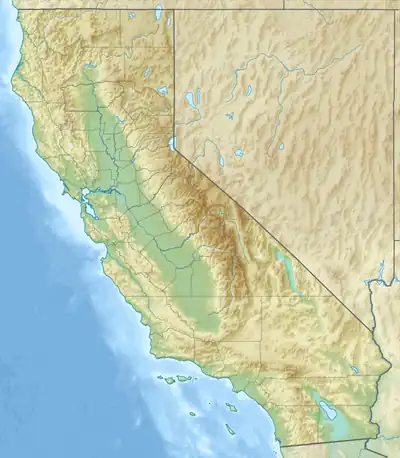 Location of Dougherty Hills in California[1] | |
| Highest point | |
| Elevation | 206 m (676 ft) |
| Geography | |
| Country | United States |
| State | California |
| District | Contra Costa County |
| Range coordinates | 37°44′53.741″N 121°55′28.849″W / 37.74826139°N 121.92468028°W |
| Topo map | USGS Dublin |
The Dougherty Hills are a mountain range in Contra Costa County, California.[1]
References
This article is issued from Wikipedia. The text is licensed under Creative Commons - Attribution - Sharealike. Additional terms may apply for the media files.