Dungtláng
Old Dungtlang | |
|---|---|
village | |
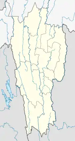 Dungtláng Location in Mizoram, India  Dungtláng Dungtláng (India) | |
| Coordinates: 23°12′22″N 93°14′24″E / 23.206095°N 93.239998°E | |
| Country | |
| State | Mizoram |
| District | Champhai |
| Elevation | 1,280 m (4,200 ft) |
| Population (2011) | |
| • Total | 858[1] |
| Languages | |
| • Official | Mizo |
| Time zone | UTC+5:30 (IST) |
| PIN | 796321 |
| Coastline | 0 kilometres (0 mi) |
| Nearest city | Champhai |
| Sex ratio | 982 females per 1000 males[1] ♂/♀ |
| Literacy | 93.44% |
Dungtláng is an Indian village within Khawbung rural development block in Champhai district, Mizoram.[2]
References
- 1 2 "Profile of Dungtlang village". Profile of villages within Khawbung RD block. Khawbung Rural Development Block. 2011. Retrieved 19 June 2012.
- ↑ "District Census Handbook - Champhai" (PDF). 2011 Census of India. Directorate of Census Operations, Mizoram. Retrieved 22 August 2015.
This article is issued from Wikipedia. The text is licensed under Creative Commons - Attribution - Sharealike. Additional terms may apply for the media files.