Leithum | |
|---|---|
village | |
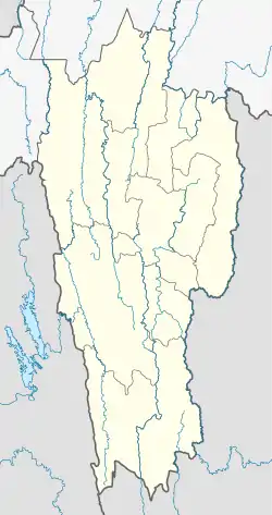 Leithum Location in Mizoram, India  Leithum Leithum (India) | |
| Coordinates: 23°14′26″N 93°16′04″E / 23.2406064°N 93.2677928°E | |
| Country | India |
| State | Mizoram |
| District | Champhai |
| Block | Khawbung |
| Elevation | 1,361 m (4,465 ft) |
| Population (2011) | |
| • Total | 546 |
| Time zone | UTC+5:30 (IST) |
| 2011 census code | 271361 |
Leithum is a village in the Champhai district of Mizoram, India. It is located in the Khawbung R.D. Block.[1]
Demographics
According to the 2011 census of India, Leithum has 108 households. The effective literacy rate (i.e. the literacy rate of population excluding children aged 6 and below) is 95.26%.[2]
| Total | Male | Female | |
|---|---|---|---|
| Population | 546 | 269 | 277 |
| Children aged below 6 years | 82 | 40 | 42 |
| Scheduled caste | 0 | 0 | 0 |
| Scheduled tribe | 538 | 264 | 274 |
| Literates | 442 | 224 | 218 |
| Workers (all) | 269 | 154 | 115 |
| Main workers (total) | 269 | 154 | 115 |
| Main workers: Cultivators | 237 | 128 | 109 |
| Main workers: Agricultural labourers | 1 | 1 | 0 |
| Main workers: Household industry workers | 0 | 0 | 0 |
| Main workers: Other | 31 | 25 | 6 |
| Marginal workers (total) | 0 | 0 | 0 |
| Marginal workers: Cultivators | 0 | 0 | 0 |
| Marginal workers: Agricultural labourers | 0 | 0 | 0 |
| Marginal workers: Household industry workers | 0 | 0 | 0 |
| Marginal workers: Others | 0 | 0 | 0 |
| Non-workers | 277 | 115 | 162 |
References
- ↑ "Mizoram villages" (PDF). Land Records Information Systems Division, NIC. Archived from the original (PDF) on 6 August 2014. Retrieved 22 August 2015.
- 1 2 "District Census Handbook - Champhai" (PDF). 2011 Census of India. Directorate of Census Operations, Mizoram. Retrieved 22 August 2015.
This article is issued from Wikipedia. The text is licensed under Creative Commons - Attribution - Sharealike. Additional terms may apply for the media files.