Dwale, Kentucky | |
|---|---|
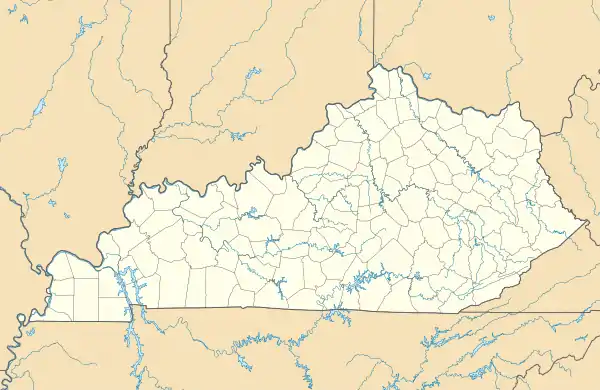 Dwale Location in Kentucky | |
| Coordinates: 37°37′15″N 82°43′38″W / 37.62083°N 82.72722°W | |
| Country | |
| State | |
| County | Floyd |
| Area | |
| • Total | 0.63 sq mi (1.63 km2) |
| • Land | 0.61 sq mi (1.58 km2) |
| • Water | 0.02 sq mi (0.06 km2) |
| Elevation | 758 ft (231 m) |
| Population (2020) | |
| • Total | 239 |
| • Density | 392.45/sq mi (151.43/km2) |
| Time zone | UTC-5 (Eastern (EST)) |
| • Summer (DST) | UTC-4 (EDT) |
| ZIP code | 41621[3] |
| Area code | 606 |
| FIPS code | 21-23104 |
| GNIS feature ID | 2629606[2] |
Dwale is an unincorporated community and census-designated place in Floyd County, Kentucky, United States.[4] The 2010 United States Census reported that Dwale's population was 329, of which 312 persons were white and 9 persons were Asian.[5]
The origins of the name Dwale are unclear. Although it is said to have been named after a town in Wales, no such Welsh place name has been found.[6]
Geography
Dwale is located in north-central Floyd County on the west side of the Levisa Fork, just north of Allen. U.S. Route 23 passes through Dwale, leading northwest 5 miles (8 km) to Prestonsburg, the county seat, and southeast 22 miles (35 km) to Pikeville.
According to the U.S. Census Bureau, the Dwale CDP has a total area of 0.67 square miles (1.74 km2), of which 0.66 square miles (1.70 km2) is land and 0.02 square miles (0.04 km2), or 2.57%, is water.[7]
Demographics
| Census | Pop. | Note | %± |
|---|---|---|---|
| 2020 | 239 | — | |
| U.S. Decennial Census[8] | |||
References
- ↑ "2020 U.S. Gazetteer Files". United States Census Bureau. Retrieved March 18, 2022.
- 1 2 U.S. Geological Survey Geographic Names Information System: Dwale, Kentucky
- ↑ "Dwale KY ZIP Code". zipdatamaps.com. 2023. Retrieved June 16, 2023.
- ↑ "Feature Detail Report for: Dwale, Kentucky." USGS. U.S. Geological Survey Geographic Names Information System: Dwale, Kentucky Retrieved May 12, 2011.
- ↑ United States Census 2010 US Census report for Kentucky
- ↑ Rennick, Robert M. (1987). Kentucky Place Names. University Press of Kentucky. p. 87. ISBN 0813126312. Retrieved April 28, 2013.
- ↑ "Geographic Identifiers: 2010 Census Summary File 1 (G001), Dwale CDP, Kentucky". American FactFinder. U.S. Census Bureau. Archived from the original on February 13, 2020. Retrieved May 23, 2016.
- ↑ "Census of Population and Housing". Census.gov. Retrieved June 4, 2016.
Municipalities and communities of Floyd County, Kentucky, United States | ||
|---|---|---|
| Cities | 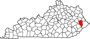 Location of Floyd County, Kentucky | |
| CDPs | ||
| Other unincorporated communities |
| |
| Footnotes | ‡This populated place also has portions in an adjacent county or counties. | |