| East Chelborough | |
|---|---|
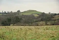 East Chelborough Castle Hill | |
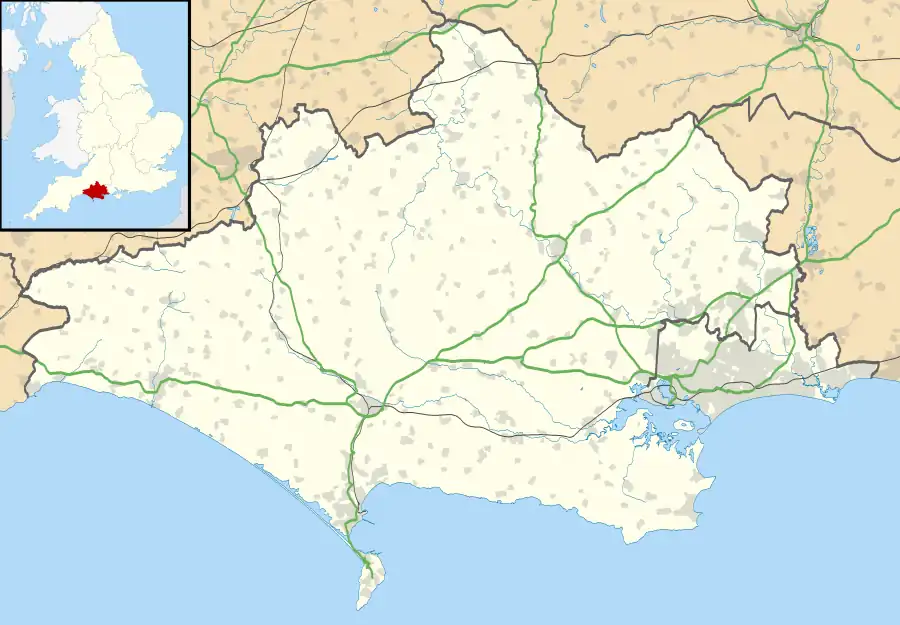 East Chelborough Location within Dorset | |
| Population | 50 [1] |
| OS grid reference | ST552057 |
| Unitary authority | |
| Shire county | |
| Region | |
| Country | England |
| Sovereign state | United Kingdom |
| Post town | Dorchester |
| Postcode district | DT2 |
| Police | Dorset |
| Fire | Dorset and Wiltshire |
| Ambulance | South Western |
| UK Parliament | |
East Chelborough is a small village and civil parish 7 miles (11 km) north-east of Beaminster in Dorset, England. Dorset County Council estimated in 2013 that the population of the parish was 50.[1]
On the top of the ridge at the nearby Castle Hill are the earthwork remains of a motte-and-bailey castle.
References
- 1 2 "Parish Population Data". Dorset County Council. 20 January 2015. Retrieved 28 February 2015.
External links
- Map sources for East Chelborough
This article is issued from Wikipedia. The text is licensed under Creative Commons - Attribution - Sharealike. Additional terms may apply for the media files.