Edmeston, New York | |
|---|---|
 Edmeston, New York Location within the state of New York | |
| Coordinates: 42°41′52″N 75°14′38″W / 42.69778°N 75.24389°W | |
| Country | United States |
| State | New York |
| County | Otsego |
| Town | Edmeston |
| Area | |
| • Total | 4.34 sq mi (11.25 km2) |
| • Land | 4.34 sq mi (11.25 km2) |
| • Water | 0.00 sq mi (0.00 km2) |
| Elevation | 1,210 ft (370 m) |
| Population (2020) | |
| • Total | 592 |
| • Density | 136.25/sq mi (52.61/km2) |
| Time zone | UTC-5 (Eastern (EST)) |
| • Summer (DST) | UTC-4 (EDT) |
| Area code | 607 |
| FIPS code | 36-23602 |
Edmeston is a census-designated place (CDP) forming the central settlement of the town of Edmeston in Otsego County, New York, United States. The population of the CDP was 657 at the 2010 census.[2]
Geography
Edmeston is located at 42°41′52″N 75°14′38″W / 42.69778°N 75.24389°W (42.69177, -75.25326).[3]
According to the United States Census Bureau, the CDP has a total area of 4.4 square miles (11.3 km2), all land.[4]
Demographics
| Census | Pop. | Note | %± |
|---|---|---|---|
| 2020 | 592 | — | |
| U.S. Decennial Census[5] | |||
References
- ↑ "ArcGIS REST Services Directory". United States Census Bureau. Retrieved September 20, 2022.
- ↑ "Profile of General Population and Housing Characteristics: 2010 Demographic Profile Data (DP-1): Edmeston CDP, New York". United States Census Bureau. Retrieved July 13, 2012.
- ↑ "Edmeston, NY". U.S. Geological Survey 7.5-minute topographic map series, mapper.acme.com
- ↑ "Geographic Identifiers: 2010 Demographic Profile Data (G001): Edmeston CDP, New York". United States Census Bureau. Retrieved July 13, 2012.
- ↑ "Census of Population and Housing". Census.gov. Retrieved June 4, 2016.
Municipalities and communities of Otsego County, New York, United States | ||
|---|---|---|
| City | 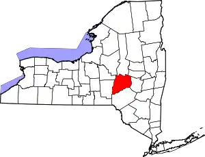 | |
| Towns | ||
| Villages | ||
| CDPs | ||
| Other hamlets | ||
| Footnotes | ‡This populated place also has portions in an adjacent county or counties | |
This article is issued from Wikipedia. The text is licensed under Creative Commons - Attribution - Sharealike. Additional terms may apply for the media files.