El Barrio de La Soledad | |
|---|---|
Municipality and town | |
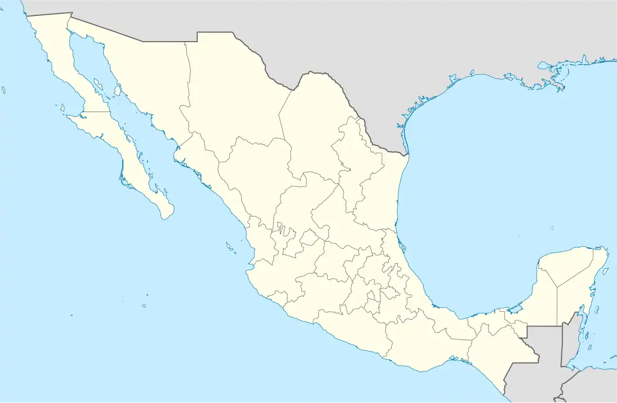 El Barrio de La Soledad Location in Mexico | |
| Coordinates: 16°48′N 95°07′W / 16.800°N 95.117°W | |
| Country | |
| State | Oaxaca |
| Area | |
| • Total | 233.48 km2 (90.15 sq mi) |
| Elevation | 240 m (790 ft) |
| Population (2005) | |
| • Total | 14,439 |
| Time zone | UTC-6 (Central Standard Time) |
| • Summer (DST) | UTC-5 (Central Daylight Time) |
El Barrio de La Soledad is a town and municipality in Oaxaca in south-western Mexico. The municipality covers an area of 233.48 km². It is part of the Juchitán District in the west of the Istmo de Tehuantepec region
As of 2005, the municipality had a total population of 13,439.[1]
References
- ↑ "El Barrio de La Soledad". Enciclopedia de los Municipios de México. Instituto Nacional para el Federalismo y el Desarrollo Municipal. Archived from the original on May 27, 2007. Retrieved June 12, 2009.
This article is issued from Wikipedia. The text is licensed under Creative Commons - Attribution - Sharealike. Additional terms may apply for the media files.