El Cerro, New Mexico | |
|---|---|
Census-designated place | |
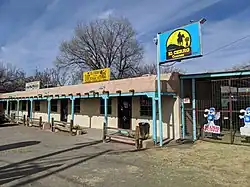 El Cerro Country Store | |
 El Cerro, New Mexico | |
| Coordinates: 34°46′51″N 106°41′44″W / 34.78083°N 106.69556°W | |
| Country | United States |
| State | New Mexico |
| County | Valencia |
| Area | |
| • Total | 4.25 sq mi (11.00 km2) |
| • Land | 4.25 sq mi (11.00 km2) |
| • Water | 0.00 sq mi (0.00 km2) |
| Elevation | 4,842 ft (1,476 m) |
| Population | |
| • Total | 2,946 |
| • Density | 693.83/sq mi (267.91/km2) |
| Time zone | UTC-7 (Mountain (MST)) |
| • Summer (DST) | UTC-6 (MDT) |
| GNIS feature ID | 584092[3] |
El Cerro is a census-designated place in Valencia County, New Mexico, United States. Its population was 2,953 as of the 2010 census.[4] It is part of the Albuquerque Metropolitan Statistical Area.
Demographics
| Census | Pop. | Note | %± |
|---|---|---|---|
| 2020 | 2,946 | — | |
| U.S. Decennial Census[5][2] | |||
Education
It is in the Los Lunas Public Schools school district.[6]
References
- ↑ "ArcGIS REST Services Directory". United States Census Bureau. Retrieved October 12, 2022.
- 1 2 "Census Population API". United States Census Bureau. Retrieved October 12, 2022.
- ↑ "El Cerro". Geographic Names Information System. United States Geological Survey, United States Department of the Interior.
- ↑ "U.S. Census website". United States Census Bureau. Retrieved December 7, 2014.
- ↑ "Census of Population and Housing". Census.gov. Retrieved June 4, 2016.
- ↑ "2020 CENSUS - SCHOOL DISTRICT REFERENCE MAP: Valencia County, NM" (PDF). U.S. Census Bureau. Retrieved September 4, 2022.
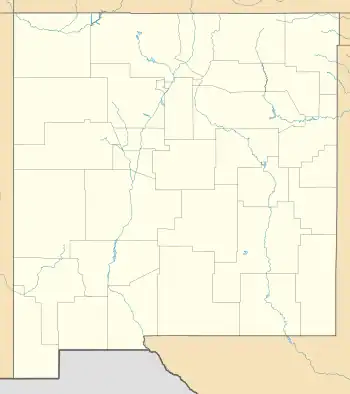
Municipalities and communities of Valencia County, New Mexico, United States | ||
|---|---|---|
| Cities |  Map of New Mexico highlighting Valencia County | |
| Town | ||
| Villages | ||
| CDPs | ||
| Unincorporated community | ||
This article is issued from Wikipedia. The text is licensed under Creative Commons - Attribution - Sharealike. Additional terms may apply for the media files.