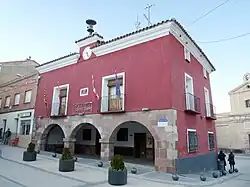
El Frasno | |
|---|---|
 | |
 Flag  Seal | |
 El Frasno  El Frasno  El Frasno | |
| Coordinates: 41°25′N 1°30′W / 41.417°N 1.500°W | |
| Country | |
| Autonomous community | |
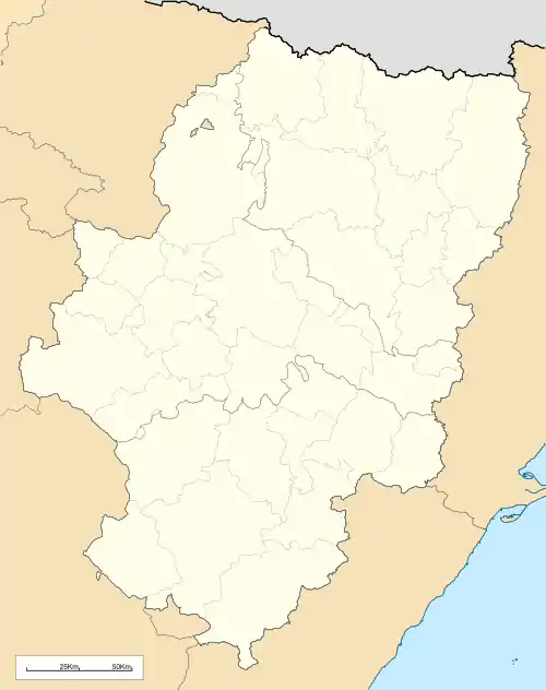
| Province | Zaragoza |
| Comarca | Comunidad de Calatayud |
| Area | |
| • Total | 48.53 km2 (18.74 sq mi) |
| Elevation | 681 m (2,234 ft) |
| Population (2018)[1] | |
| • Total | 384 |
| • Density | 7.9/km2 (20/sq mi) |
| Time zone | UTC+1 (CET) |
| • Summer (DST) | UTC+2 (CEST) |
El Frasno is a municipality in the province of Zaragoza, Aragon, Spain. According to the 2004 census (INE), the municipality had a population of 476 inhabitants.
This town is located in the Sierra de Vicort range close to the Carretera Nacional N-II highway. The Puerto del Frasno mountain pass is named after it. According to the 2010 census[2] the town had a population of 141 inhabitants.
Villages
- El Frasno
- Aluenda, located further to the SW by the highway as well.
- Inogés
- Pietas
See also
References
- ↑ Municipal Register of Spain 2018. National Statistics Institute.
- ↑ Instituto Nacional de Estadística (Spain)
External links
Wikimedia Commons has media related to El Frasno.
This article is issued from Wikipedia. The text is licensed under Creative Commons - Attribution - Sharealike. Additional terms may apply for the media files.