El Perelló | |
|---|---|
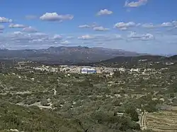 El Perelló with the Serra del Boix in the background | |
 Flag  Coat of arms | |
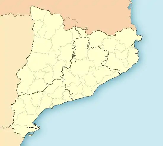 El Perelló Location in Catalonia | |
| Coordinates: 40°52′36″N 0°42′47″E / 40.87667°N 0.71306°E | |
| Country | |
| Community | |
| Province | Tarragona |
| Comarca | Baix Ebre |
| Government | |
| • Mayor | Maria Cinta Llaó i Llaó (2019)[1] |
| Area | |
| • Total | 100.7 km2 (38.9 sq mi) |
| Elevation | 142 m (466 ft) |
| Population (2018)[3] | |
| • Total | 2,863 |
| • Density | 28/km2 (74/sq mi) |
| Demonym(s) | Perellonenc, perellonenca |
| Website | www |
El Perelló is a municipality in the comarca of the Baix Ebre in Catalonia, Spain. It is situated in the north of the comarca, below the Boix and Cabrafeixet ranges. The N-340 road runs around the town, and connects it with the A-7 autopista at l'Ampolla.
Demography
The municipality of l'Ampolla formed part of El Perelló until 1990; their combined population as of 2007 is 2895. Population figures below are for the territory of El Perelló as of the date given.
| 1900 | 1930 | 1950 | 1970 | 1986 | 2007 |
|---|---|---|---|---|---|
| 4134 | 4408 | 4149 | 3556 | 3713 | 2895 |
References
- ↑ "Ajuntament del Perelló". Generalitat of Catalonia. Retrieved 2019-12-30.
- ↑ "El municipi en xifres: El Perelló". Statistical Institute of Catalonia. Retrieved 2015-11-23.
- ↑ Municipal Register of Spain 2018. National Statistics Institute.
External links
![]() Media related to El Perelló at Wikimedia Commons
Media related to El Perelló at Wikimedia Commons
- Official website (in Catalan)
- Government data pages (in Catalan)
Places adjacent to El Perelló | ||||||||||||||||
|---|---|---|---|---|---|---|---|---|---|---|---|---|---|---|---|---|
| ||||||||||||||||
Municipalities of Baix Ebre | ||
|---|---|---|
This article is issued from Wikipedia. The text is licensed under Creative Commons - Attribution - Sharealike. Additional terms may apply for the media files.