Emerald Bay, Texas | |
|---|---|
 Emerald Bay, Texas | |
| Coordinates: 32°9′37″N 95°26′17″W / 32.16028°N 95.43806°W | |
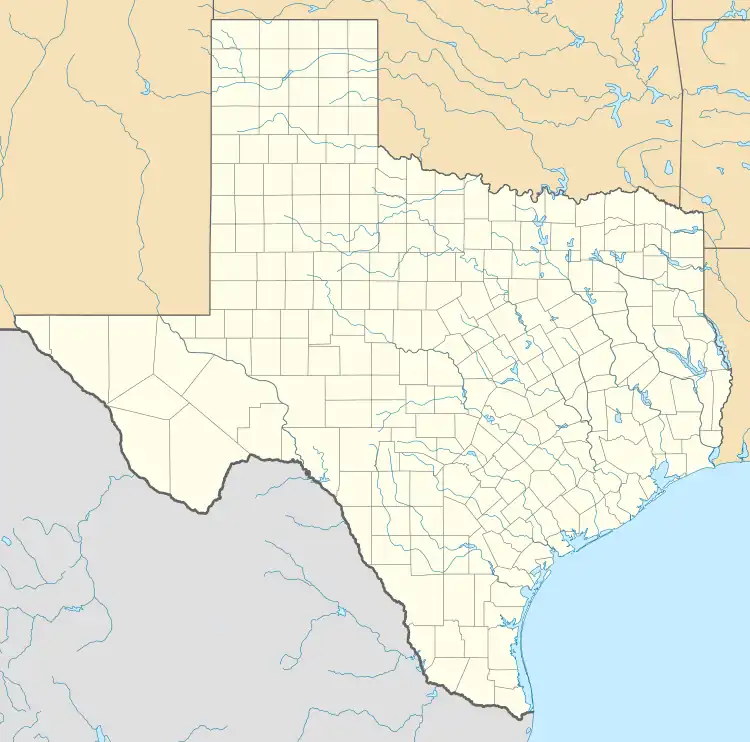
| Country | United States |
| State | Texas |
| County | Smith |
| Area | |
| • Total | 1.5 sq mi (4 km2) |
| • Land | 0.75 sq mi (1.9 km2) |
| • Water | 0.75 sq mi (1.9 km2) |
| Population (2020) | |
| • Total | 1,146 |
| • Density | 760/sq mi (290/km2) |
| Time zone | UTC-6 (Central (CST)) |
| • Summer (DST) | UTC-5 (CDT) |
| Zip Code | 75757 |
Emerald Bay is in Smith County, Texas, United States. It is located on the eastern side of Lake Palestine, near Bullard.[1] It is a census-designated place (CDP) created for the 2010 census. Emerald Bay had a population of 1,146 as of the 2020 census.
Demographics
| Race | Number | Percentage |
|---|---|---|
| White (NH) | 1,082 | 94.42% |
| Black or African American (NH) | 9 | 0.79% |
| Native American or Alaska Native (NH) | 5 | 0.44% |
| Asian (NH) | 12 | 1.05% |
| Mixed/Multi-Racial (NH) | 24 | 2.09% |
| Hispanic or Latino | 14 | 1.22% |
| Total | 1,146 |
As of the 2020 United States census, there were 1,146 people, 442 households, and 361 families residing in the CDP.
References
- ↑ "Emerald Bay, Texas :: Boundary Map of Emerald Bay, Texas". Archived from the original on December 20, 2016.
- ↑ "Explore Census Data". data.census.gov. Retrieved May 25, 2022.
- ↑ https://www.census.gov
- ↑ "About the Hispanic Population and its Origin". www.census.gov. Retrieved May 18, 2022.
Municipalities and communities of Smith County, Texas, United States | ||
|---|---|---|
| Cities | 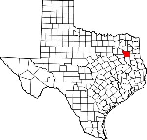 Smith County map | |
| Towns | ||
| CDP | ||
| Other unincorporated communities |
| |
| Ghost towns | ||
| Footnotes | ‡This populated place also has portions in an adjacent county or counties | |
This article is issued from Wikipedia. The text is licensed under Creative Commons - Attribution - Sharealike. Additional terms may apply for the media files.