Empersdorf | |
|---|---|
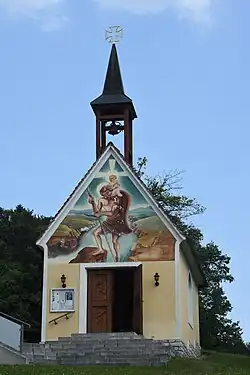 Chapel in Liebensdorf (part of Empersdorf) | |
 Coat of arms | |
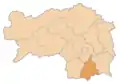
 Empersdorf Location within Austria | |
| Coordinates: 46°58′48″N 15°36′00″E / 46.98000°N 15.60000°E | |
| Country | Austria |
| State | Styria |
| District | Leibnitz |
| Government | |
| • Mayor | Alois Baumhackl (ÖVP) |
| Area | |
| • Total | 14.19 km2 (5.48 sq mi) |
| Elevation | 360 m (1,180 ft) |
| Population (2018-01-01)[2] | |
| • Total | 1,376 |
| • Density | 97/km2 (250/sq mi) |
| Time zone | UTC+1 (CET) |
| • Summer (DST) | UTC+2 (CEST) |
| Postal code | 8081, 8302 |
| Area code | 03134 |
| Vehicle registration | LB |
| Website | www.empersdorf.com |
Empersdorf is a municipality in the district of Leibnitz in the Austrian state of Styria.
Geography
Empersdorf is the northernmost municipality in the district of Leibnitz.
References
- ↑ "Dauersiedlungsraum der Gemeinden Politischen Bezirke und Bundesländer - Gebietsstand 1.1.2018". Statistics Austria. Retrieved 10 March 2019.
- ↑ "Einwohnerzahl 1.1.2018 nach Gemeinden mit Status, Gebietsstand 1.1.2018". Statistics Austria. Retrieved 9 March 2019.
This article is issued from Wikipedia. The text is licensed under Creative Commons - Attribution - Sharealike. Additional terms may apply for the media files.