Erm | |
|---|---|
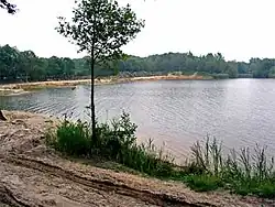 The Ermezand around Erm | |
 Erm  Erm | |
| Coordinates: 52°45′16″N 6°49′1″E / 52.75444°N 6.81694°E | |
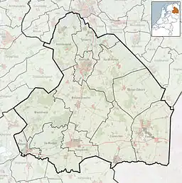
| Country | Netherlands |
| Province | Drenthe |
| Municipality | De Wolden |
| Area | |
| • Total | 0.84 km2 (0.32 sq mi) |
| Elevation | 17 m (56 ft) |
| Population (2021)[1] | |
| • Total | 80 |
| • Density | 95/km2 (250/sq mi) |
| Time zone | UTC+1 (CET) |
| • Summer (DST) | UTC+2 (CEST) |
| Postal code | 7843[1] |
| Dialing code | 0591 |
Erm is a village in the Netherlands and is part of the Coevorden municipality in Drenthe.
It was first mentioned between 1267 and 1290 as Erme. The etymology is unknown.[3] It used to be referred to as Voorste Erm to distinguish from Achterste Erm. In 1840, it was home to 400 people. In 1885, a school was built in the village, but closed in 2019.[4]
See also
References
- 1 2 3 "Kerncijfers wijken en buurten 2021". Central Bureau of Statistics. Retrieved 12 March 2022.
- ↑ "Postcodetool for 7843PA". Actueel Hoogtebestand Nederland (in Dutch). Het Waterschapshuis. Retrieved 12 March 2022.
- ↑ "Erm - (geografische naam)". Etymologiebank (in Dutch). Retrieved 13 March 2022.
- ↑ "Erm". Plaatsengids (in Dutch). Retrieved 13 March 2022.
Wikimedia Commons has media related to Erm.
This article is issued from Wikipedia. The text is licensed under Creative Commons - Attribution - Sharealike. Additional terms may apply for the media files.