Ferguson | |
|---|---|
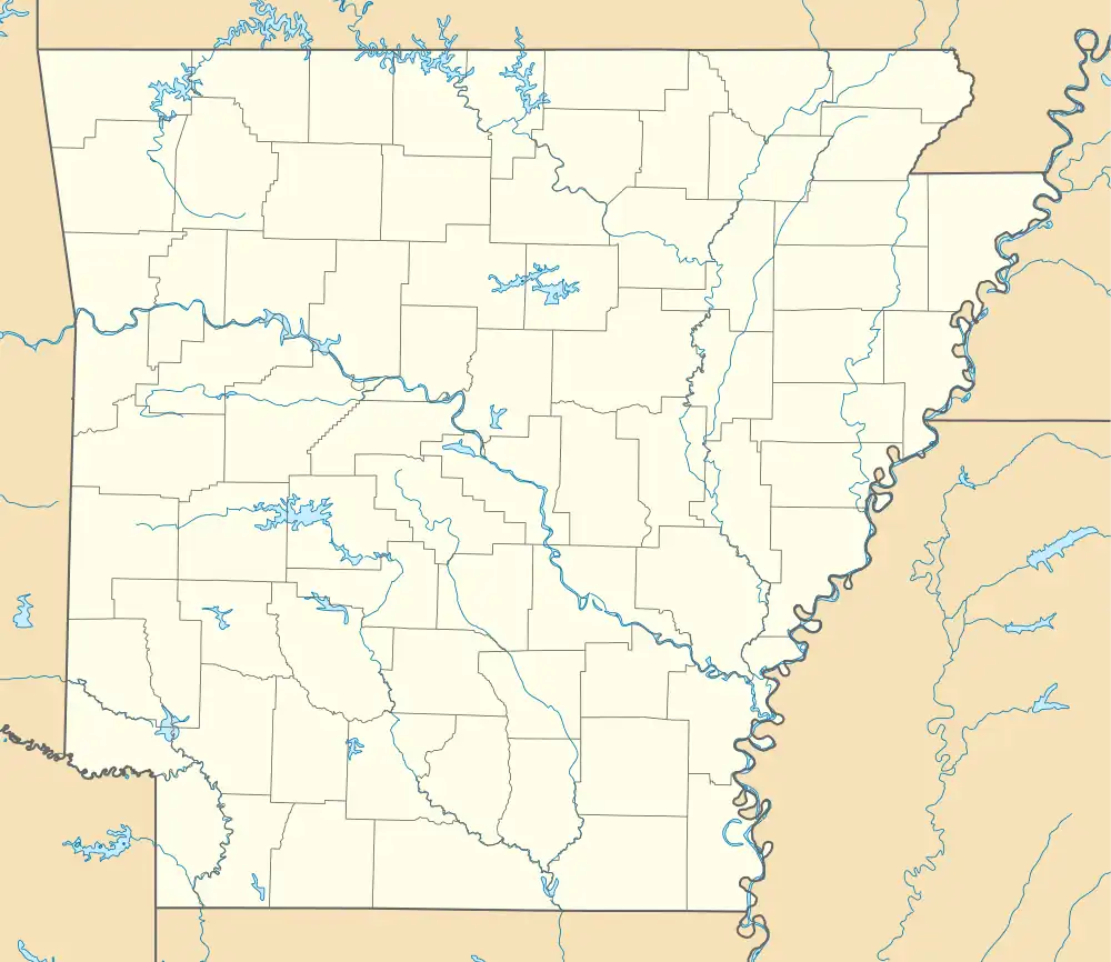 Ferguson Ferguson's position in Arkansas.  Ferguson Ferguson (the United States) | |
| Coordinates: 34°08′17″N 90°59′02″W / 34.13806°N 90.98389°W | |
| Country | |
| State | |
| County | Phillips |
| Elevation | 49 m (161 ft) |
| Time zone | UTC-6 (Central (CST)) |
| • Summer (DST) | UTC-5 (CDT) |
| GNIS feature ID | 57748 |
| U.S. Geological Survey Geographic Names Information System: Ferguson, Arkansas | |
Ferguson is an unincorporated community in Phillips County, Arkansas, United States.[1] At 6:30 PM on April 26, 2011, a tornado – part of the 2011 Super Outbreak – hit Ferguson and traveled along Arkansas Highway 44 toward Coahoma, Mississippi.[2][3] The tornado was rated EF0 with winds estimated at 80 mph (130 km/h; 70 kn), a width of 200 yards (180 m), that traveled a path of 17.8 miles (28.6 km).[3] The tornado knocked down trees, power lines, telephone poles, road signs, and irrigation facilities.[3]
References
- ↑ "Feature Detail Report for: Ferguson, Arkansas." USGS. U.S. Geological Survey Geographic Names Information System: Ferguson, Arkansas Retrieved April 28, 2011.
- ↑ http://forecast.weather.gov/product.php?site=NWS&product=PNS&issuedby=MEG&glossary=1 National Weather Service
- 1 2 3 NWS Memphis Office Report
Municipalities and communities of Phillips County, Arkansas, United States | ||
|---|---|---|
| Cities | 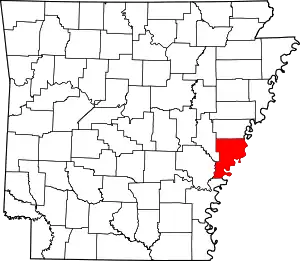 Map of Arkansas highlighting Phillips County | |
| Town | ||
| Townships |
| |
| CDPs | ||
| Other unincorporated communities | ||
This article is issued from Wikipedia. The text is licensed under Creative Commons - Attribution - Sharealike. Additional terms may apply for the media files.