Foxholm, North Dakota | |
|---|---|
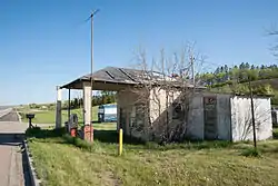 Abandoned Gas Station in Foxholm | |
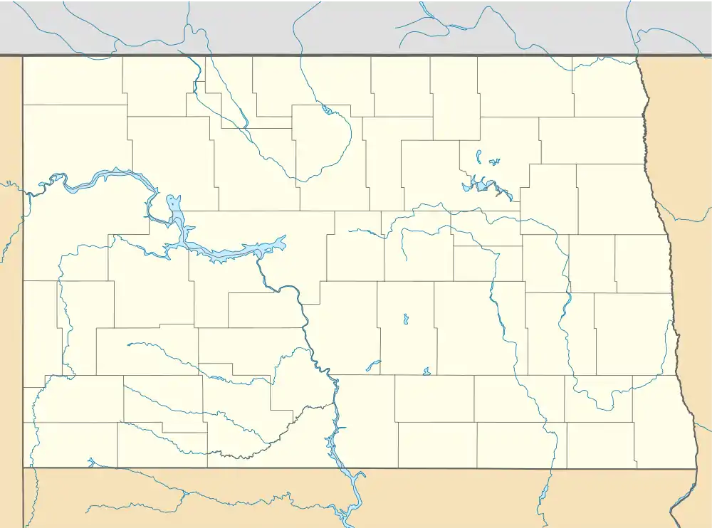  Foxholm, North Dakota | |
| Coordinates: 48°21′55″N 101°34′20″W / 48.36528°N 101.57222°W | |
| Country | United States |
| State | North Dakota |
| County | Ward |
| Area | |
| • Total | 0.96 sq mi (2.48 km2) |
| • Land | 0.96 sq mi (2.48 km2) |
| • Water | 0.00 sq mi (0.00 km2) |
| Elevation | 1,677 ft (511 m) |
| Population (2020) | |
| • Total | 56 |
| • Density | 58.39/sq mi (22.54/km2) |
| Time zone | UTC-6 (Central (CST)) |
| • Summer (DST) | UTC-5 (CDT) |
| Area code | 701 |
| GNIS feature ID | 2584343[2] |
Foxholm is a census-designated place and unincorporated community in Ward County, North Dakota, United States. Its population was 75 as of the 2010 census.[3]
Foxholm is located along U.S. Route 52, 18 miles (29 km) northwest of Minot and 76 miles (122 km) southeast of the Saskatchewan and North Dakota border at Portal, ND/North Portal, SK. Foxholm is in the Des Lacs River Valley.
A post office called Foxholm was established in 1894, and remained in operation until 1967.[4] The community supposedly was named after a place in England.[5]
Demographics
| Census | Pop. | Note | %± |
|---|---|---|---|
| 2020 | 56 | — | |
| U.S. Decennial Census[6] | |||
References
- ↑ "ArcGIS REST Services Directory". United States Census Bureau. Retrieved September 20, 2022.
- 1 2 U.S. Geological Survey Geographic Names Information System: Foxholm, North Dakota
- ↑ "U.S. Census website". United States Census Bureau. Retrieved May 14, 2011.
- ↑ "Ward County". Jim Forte Postal History. Retrieved October 22, 2015.
- ↑ Federal Writers' Project (1938). North Dakota, a Guide to the Northern Prairie State. WPA. p. 275. ISBN 978-1-62376-033-5.
- ↑ "Census of Population and Housing". Census.gov. Retrieved June 4, 2016.
Municipalities and communities of Ward County, North Dakota, United States | ||
|---|---|---|
| Cities |  Map of North Dakota highlighting Ward County | |
| Townships |
| |
| CDPs | ||
| Other community | ||
| Indian reservation | ||
| Footnotes | ‡This populated place also has portions in an adjacent county or counties | |
This article is issued from Wikipedia. The text is licensed under Creative Commons - Attribution - Sharealike. Additional terms may apply for the media files.