Galchutt, North Dakota | |
|---|---|
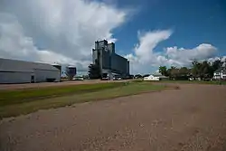 Looking north at Galchutt | |
 Galchutt, North Dakota  Galchutt, North Dakota | |
| Coordinates: 46°23′15″N 96°48′34″W / 46.38750°N 96.80944°W | |
| Country | United States |
| State | North Dakota |
| County | Richland |
| Elevation | 951 ft (290 m) |
| Time zone | UTC-6 (Central (CST)) |
| • Summer (DST) | UTC-5 (CDT) |
| Area code | 701 |
| GNIS feature ID | 1029073[1] |
Galchutt is an unincorporated community in Richland County, North Dakota, United States. Galchutt is located along the Red River Valley and Western Railroad 12.9 miles (20.8 km), northwest of Wahpeton.[2]
The village of Galchutt took its name from the owner Hans Galchutt. He first built a home, store and grain warehouse in the area in 1882.[3]
References
- 1 2 U.S. Geological Survey Geographic Names Information System: Galchutt, North Dakota
- ↑ Richland County, North Dakota General Highway Map (PDF) (Map). North Dakota Department of Transportation. 2008. p. 1. Retrieved July 13, 2012.
- ↑ "History of Galchutt, North Dakota, 1882-1982". Digital Horizons. North Dakota State Library. Retrieved November 15, 2019.
External links
Municipalities and communities of Richland County, North Dakota, United States | ||
|---|---|---|
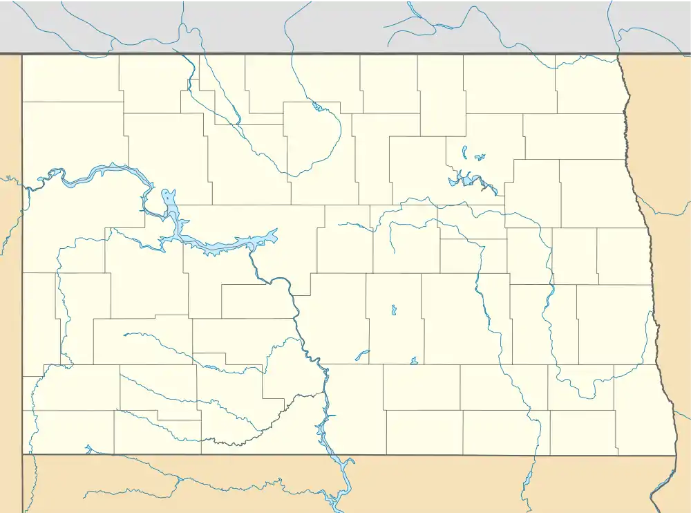
| Cities |  Map of North Dakota highlighting Richland County | |
| Townships | ||
| Unincorporated communities | ||
| Indian reservations | ||
| Footnotes | ‡This populated place also has portions in an adjacent county or counties | |
This article is issued from Wikipedia. The text is licensed under Creative Commons - Attribution - Sharealike. Additional terms may apply for the media files.