40°02′17″N 44°33′50″E / 40.03806°N 44.56389°E
Getazat
Գետազատ | |
|---|---|
 Getazat | |
 Getazat 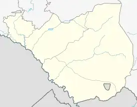 Getazat | |
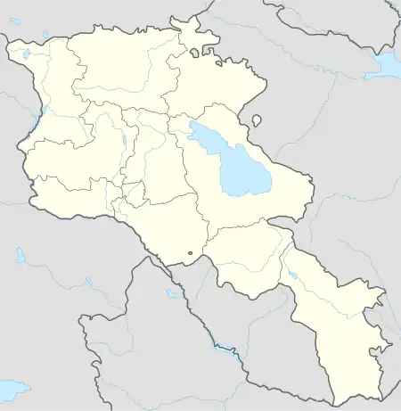
| Coordinates: 40°02′17″N 44°33′50″E / 40.03806°N 44.56389°E | |
| Country | Armenia |
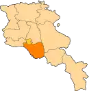
| Province | Ararat |
| Municipality | Artashat |
| Population (2008) | |
| • Total | 2,115 |
| Time zone | UTC+4 |
| • Summer (DST) | UTC+5 |
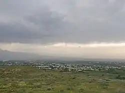
Getazat (Armenian: Գետազատ), also known Getashen as until 1948, and Aghjaghshlagh,[1]) is a village in the Artashat Municipality of the Ararat Province of Armenia.
References
- ↑ Kiesling, Rediscovering Armenia, p. 25, available online at the US embassy to Armenia's website Archived June 26, 2008, at the Wayback Machine
External links
- Getazat at GEOnet Names Server
- World Gazetteer: Armenia – World-Gazetteer.com
- Report of the results of the 2001 Armenian Census, Statistical Committee of Armenia
This article is issued from Wikipedia. The text is licensed under Creative Commons - Attribution - Sharealike. Additional terms may apply for the media files.