Gladstone, Nebraska | |
|---|---|
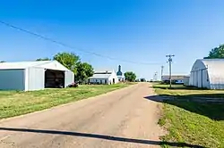 | |
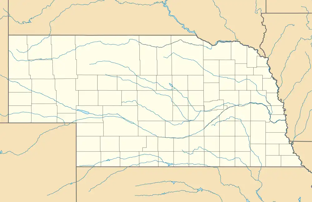 Gladstone Location within the state of Nebraska | |
| Coordinates: 40°09′35″N 97°18′29″W / 40.15972°N 97.30806°W | |
| Country | United States |
| State | Nebraska |
| County | Jefferson |
| Elevation | 1,542 ft (470 m) |
| Time zone | UTC-6 (Central (CST)) |
| • Summer (DST) | UTC-5 (CDT) |
| ZIP code | 68352 |
| FIPS code | 31-18895 |
| GNIS feature ID | 829530 |
Gladstone is an unincorporated community in Jefferson County, Nebraska, United States.[1]
History
Gladstone was platted in 1886 when the Chicago, Kansas and Nebraska Railway was extended to that point.[2] It was named for William Ewart Gladstone, the Prime Minister of the United Kingdom.[3]
References
- ↑ U.S. Geological Survey Geographic Names Information System: Gladstone, Nebraska
- ↑ "Gladstone, NE". Jefferson County Visitors Committee. Retrieved August 13, 2014.
- ↑ Fitzpatrick, Lillian L. (1960). Nebraska Place-Names. University of Nebraska Press. p. 81. ISBN 0-8032-5060-6. A 1925 edition is available for download at University of Nebraska—Lincoln Digital Commons.
Municipalities and communities of Jefferson County, Nebraska, United States | ||
|---|---|---|
| City | Map of Nebraska highlighting Jefferson County | |
| Villages | ||
| Unincorporated communities | ||
| Ghost towns | ||
This article is issued from Wikipedia. The text is licensed under Creative Commons - Attribution - Sharealike. Additional terms may apply for the media files.