Glen Acres, New Mexico | |
|---|---|
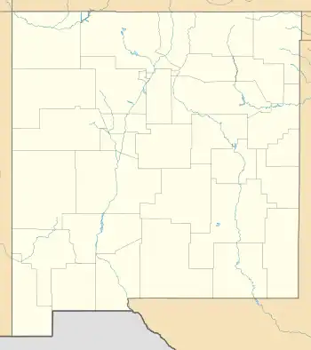  Glen Acres 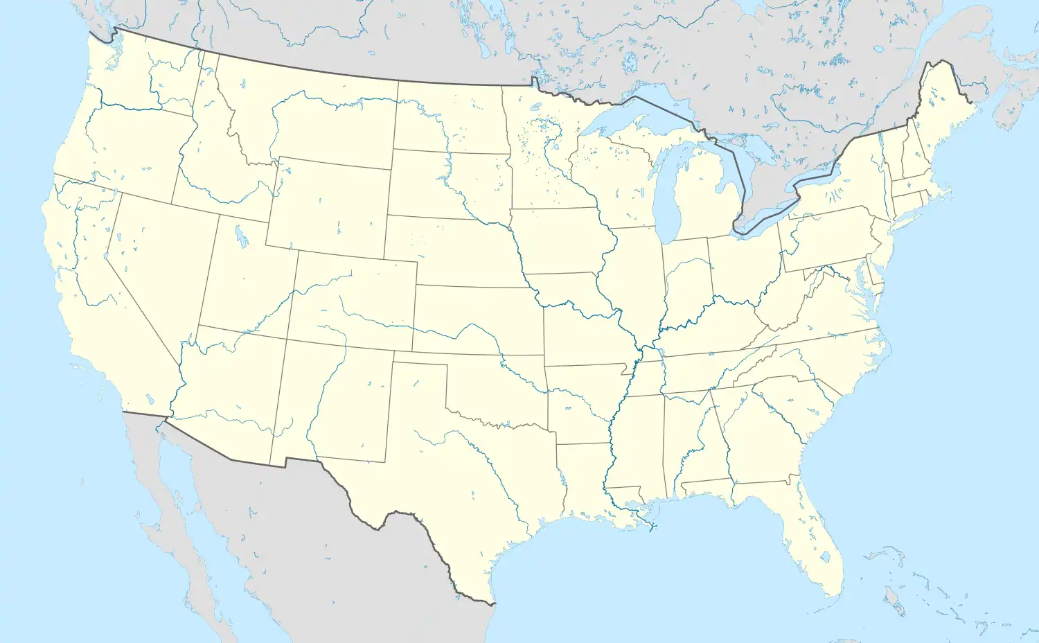 Glen Acres | |
| Coordinates: 32°22′29″N 108°42′58″W / 32.37472°N 108.71611°W | |
| Country | United States |
| State | New Mexico |
| County | Hidalgo |
| Area | |
| • Total | 0.99 sq mi (2.56 km2) |
| • Land | 0.99 sq mi (2.56 km2) |
| • Water | 0.00 sq mi (0.00 km2) |
| Elevation | 4,196 ft (1,279 m) |
| Population | |
| • Total | 204 |
| • Density | 206.48/sq mi (79.75/km2) |
| Time zone | UTC-7 (Mountain (MST)) |
| • Summer (DST) | UTC-6 (MDT) |
| Area code | 575 |
| GNIS feature ID | 2584103[3] |
Glen Acres is a census-designated place in Hidalgo County, New Mexico, United States. Its population was 208 as of the 2010 census.[4] The community is located along U.S. Route 70. The community's streets are named after golfers (e.g. Sam Sneed (sic) Drive, Lee Trevino Drive, Tom Shaw Road).[5]
Geography
Glen Acres is located at 32°22′29″N 108°42′58″W / 32.374699°N 108.716008°W. According to the U.S. Census Bureau, the community has an area of 0.955 square miles (2.47 km2), all land.[4]
Demographics
| Census | Pop. | Note | %± |
|---|---|---|---|
| 2020 | 204 | — | |
| U.S. Decennial Census[6][2] | |||
References
- ↑ "ArcGIS REST Services Directory". United States Census Bureau. Retrieved October 12, 2022.
- 1 2 "Census Population API". United States Census Bureau. Retrieved October 12, 2022.
- ↑ "Glen Acres Census Designated Place". Geographic Names Information System. United States Geological Survey, United States Department of the Interior.
- 1 2 "2010 Census Gazetteer Files - Places: New Mexico". U.S. Census Bureau. Archived from the original on July 14, 2014. Retrieved August 21, 2014.
- ↑ "Google Maps".
- ↑ "Census of Population and Housing". Census.gov. Retrieved June 4, 2016.
Municipalities and communities of Hidalgo County, New Mexico, United States | ||
|---|---|---|
| City | 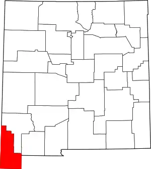 Map of New Mexico highlighting Hidalgo County | |
| Village | ||
| CDPs | ||
| Other communities | ||
| Ghost towns | ||
This article is issued from Wikipedia. The text is licensed under Creative Commons - Attribution - Sharealike. Additional terms may apply for the media files.