| Glenburn Victoria | |||||||||||||||
|---|---|---|---|---|---|---|---|---|---|---|---|---|---|---|---|
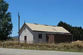 Glenburn Hall | |||||||||||||||
 Glenburn | |||||||||||||||
| Coordinates | 37°25′S 145°25′E / 37.417°S 145.417°E | ||||||||||||||
| Population | 415 (2016 census)[1] | ||||||||||||||
| Postcode(s) | 3717 | ||||||||||||||
| Elevation | 299 m (981 ft) | ||||||||||||||
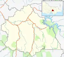
| Location | |||||||||||||||
| LGA(s) | Shire of Murrindindi | ||||||||||||||
| State electorate(s) | Eildon | ||||||||||||||
| Federal division(s) | Indi | ||||||||||||||
| |||||||||||||||
Glenburn is a locality in Victoria, Australia. It is in the local government area of the Shire of Murrindindi. At the 2016 census, Glenburn had a population of 415.[1]
The Post Office opened in 1902 and was known as Glenburn Creamery until 1907.[2]
References
Wikimedia Commons has media related to Glenburn, Victoria.
- 1 2 Australian Bureau of Statistics (27 June 2017). "Glenburn (State Suburb)". 2016 Census QuickStats. Retrieved 10 June 2018.
- ↑ Premier Postal History, Post Office List, retrieved 11 April 2008
Localities in the Shire of Murrindindi | ||
|---|---|---|
| Town |
| |
| Locality |
| |
^ - Territory divided with another LGA | ||
This article is issued from Wikipedia. The text is licensed under Creative Commons - Attribution - Sharealike. Additional terms may apply for the media files.