Gniebing-Weißenbach | |
|---|---|
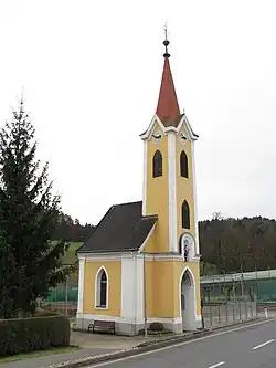 Chapel in Oberweißenbach | |
 Coat of arms | |
 Gniebing-Weißenbach Location within Austria | |
| Coordinates: 46°58′00″N 15°51′00″E / 46.96667°N 15.85000°E | |
| Country | Austria |
| State | Styria |
| District | Südoststeiermark |
| Government | |
| • Mayor | Manfred Promitzer (ÖVP) |
| Area | |
| • Total | 15.36 km2 (5.93 sq mi) |
| Elevation | 288 m (945 ft) |
| Population (1 January 2016)[1] | |
| • Total | 2,190 |
| • Density | 140/km2 (370/sq mi) |
| Time zone | UTC+1 (CET) |
| • Summer (DST) | UTC+2 (CEST) |
| Postal code | 8330 |
| Area code | +43 3152 |
| Vehicle registration | FB |
| Website | www.gniebing-weissenbach.at |
Gniebing-Weißenbach is a former municipality in the district of Südoststeiermark in the Austrian state of Styria. Since the 2015 Styria municipal structural reform, it is part of the municipality Feldbach.[2]
Population
| Year | Pop. | ±% |
|---|---|---|
| 1869 | 1,225 | — |
| 1880 | 1,287 | +5.1% |
| 1890 | 1,313 | +2.0% |
| 1900 | 1,293 | −1.5% |
| 1910 | 1,288 | −0.4% |
| 1923 | 1,273 | −1.2% |
| 1934 | 1,442 | +13.3% |
| 1939 | 1,435 | −0.5% |
| 1951 | 1,465 | +2.1% |
| 1961 | 1,544 | +5.4% |
| 1971 | 1,767 | +14.4% |
| 1981 | 1,854 | +4.9% |
| 1991 | 1,940 | +4.6% |
| 2001 | 2,054 | +5.9% |
| 2013 | 2,175 | +5.9% |
References
This article is issued from Wikipedia. The text is licensed under Creative Commons - Attribution - Sharealike. Additional terms may apply for the media files.