Gorbatovsky
Горбатовский | |
|---|---|
Khutor | |
 Gorbatovsky  Gorbatovsky | |
| Coordinates: 49°22′N 42°02′E / 49.367°N 42.033°E[1] | |
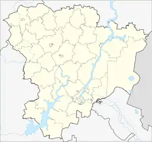
| Country | Russia |
| Region | Volgograd Oblast |
| District | Serafimovichsky District |
| Time zone | UTC+4:00 |
Gorbatovsky (Russian: Горбатовский) is a rural locality (a khutor) and the administrative center of Gorbatovskoye Rural Settlement, Serafimovichsky District, Volgograd Oblast, Russia. The population was 364 as of 2010.[2] There are 5 streets.[3]
Geography
Gorbatovsky is located 68 km southwest of Serafimovich (the district's administrative centre) by road. Gorbatov is the nearest rural locality.[4]
References
- ↑ Горбатовский хутор на карте
- ↑ Всероссийская перепись населения 2010 года. Численность населения городских округов, муниципальных районов, городских и сельских поселений, городских и сельских населённых пунктов Волгоградской области
- ↑ Горбатовский хутор на карте
- ↑ Расстояние от Горбатовского до Серафимовича
This article is issued from Wikipedia. The text is licensed under Creative Commons - Attribution - Sharealike. Additional terms may apply for the media files.