| Gsallkopf | |
|---|---|
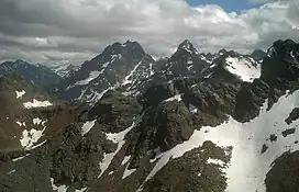 Rofelewand (middle) and Gsallkopf (right) in the Kaunergrat from near the Fundusfeiler in the Geigenkamm. | |
| Highest point | |
| Elevation | 3,277 m (10,751 ft) |
| Prominence | 300 m (980 ft) |
| Parent peak | Rofelewand |
| Listing | Alpine mountains above 3000 m |
| Coordinates | 47°02′16″N 10°48′18″E / 47.03778°N 10.80500°E |
| Geography | |
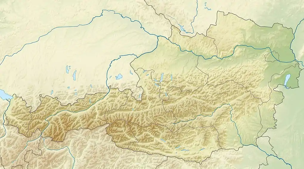 Gsallkopf Austria | |
| Location | Tyrol, Austria |
| Parent range | Ötztal Alps |
| Climbing | |
| First ascent | 1894 by M. Peer and M. Prochaska |
| Easiest route | Southface from the Verpeilhütte |
The Gsallkopf is a mountain in the Kaunergrat group of the Ötztal Alps.
This article is issued from Wikipedia. The text is licensed under Creative Commons - Attribution - Sharealike. Additional terms may apply for the media files.