| Rofelewand | |
|---|---|
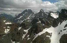 Rofelewand (middle) and Gsallkopf (right) in the Kaunergrat from near the Fundusfeiler in the Geigenkamm. | |
| Highest point | |
| Elevation | 3,354 m (11,004 ft) |
| Prominence | 529 m (1,736 ft) |
| Parent peak | Verpeilspitze (Wildspitze) |
| Isolation | 3.3 km (2.1 mi) |
| Listing | Alpine mountains above 3000 m |
| Coordinates | 47°01′56″N 10°49′06″E / 47.03222°N 10.81833°E |
| Geography | |
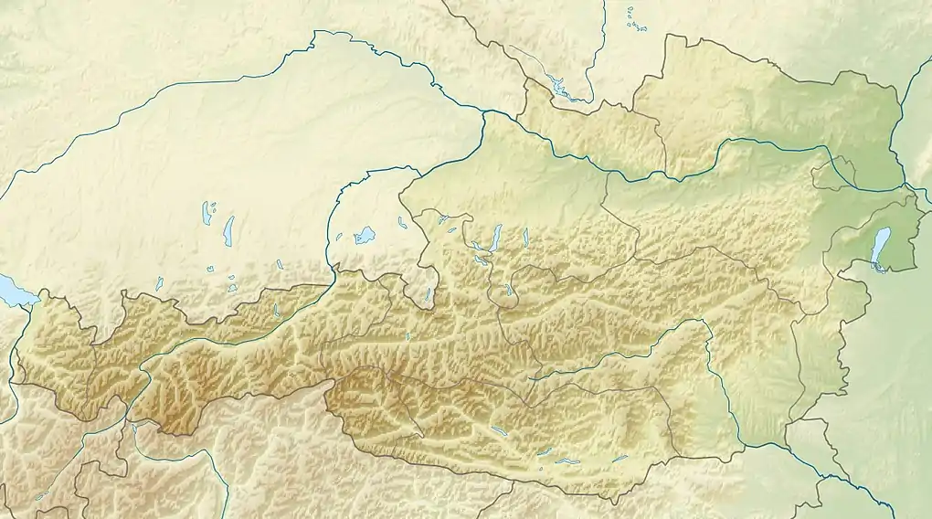 Rofelewand Austria | |
| Location | Tyrol, Austria |
| Parent range | Ötztal Alps |
| Climbing | |
| First ascent | 24 Jul 1873 by Theodor Petersen, Alois Ennemoser, Josef Kirschner, Gottlieb Rauch, Alois Neururer, K. Neuner, C. Benzien and I. Müller |
| Easiest route | North ridge (UIAA-II) |
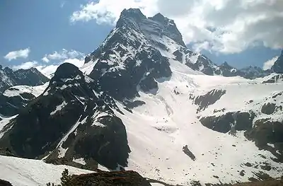
The Rofelewand is a mountain in the Kaunergrat group of the Ötztal Alps.
See also
This article is issued from Wikipedia. The text is licensed under Creative Commons - Attribution - Sharealike. Additional terms may apply for the media files.