Guaçuí | |
|---|---|
 Flag  Coat of arms | |
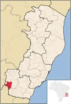 Location in Espírito Santo state | |
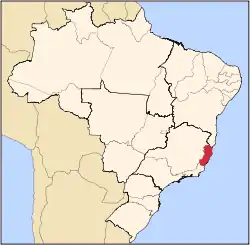
 Guaçuí Location in Brazil | |
| Coordinates: 20°46′33″S 41°40′44″W / 20.77583°S 41.67889°W | |
| Country | Brazil |
| Region | Southeast |
| State | Espírito Santo |
| Area | |
| • Total | 469 km2 (181 sq mi) |
| Population (2020 [1]) | |
| • Total | 31,122 |
| • Density | 66/km2 (170/sq mi) |
| Time zone | UTC−3 (BRT) |
Guaçuí is a municipality located in the Brazilian state of Espírito Santo. Its population was 31,122 (2020) and its area is 469 km².[2]
References
Capital: Vitória | ||||||||||
| Mesoregion Central |
|  | ||||||||
| Mesoregion Litoral Norte |
| |||||||||
| Mesoregion Noroeste |
| |||||||||
| Mesoregion Sul |
| |||||||||
This article is issued from Wikipedia. The text is licensed under Creative Commons - Attribution - Sharealike. Additional terms may apply for the media files.