Marataízes | |
|---|---|
| Municipality of Marataízes | |
.jpg.webp) | |
 Flag  Seal | |
| Nickname(s): Pérola do Sul (Pearl of the South) | |
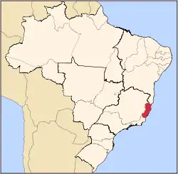
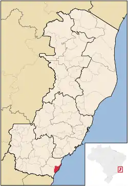 Location in the state of Espírito Santo | |
 Marataízes | |
| Coordinates: 21°45′14″S 41°19′26″W / 21.75389°S 41.32389°W | |
| Country | |
| Region | Southeast |
| State | |
| Founded | 14 January 1992 |
| Government | |
| • Mayor | Jander Nunes Vidal (PSDB) |
| Area | |
| • Total | 133.075 km2 (51.381 sq mi) |
| Elevation | 2 m (7 ft) |
| Population (2020)[1] | |
| • Total | 38,883 |
| • Density | 290/km2 (760/sq mi) |
| Time zone | UTC−3 (BRT) |
| Postal Code | 29345-000 |
| Area code | +55 28 |
| HDI (2010) | 0.696 – medium[2] |
| Website | marataizes |
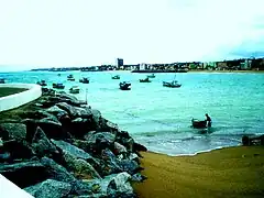
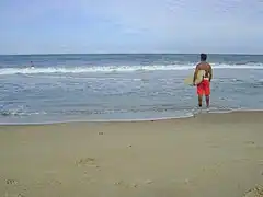
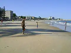
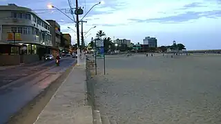
Marataízes is a municipality located by the Atlantic Ocean in southern Espírito Santo, Brazil. It has a population of 38,883 and holds as such the highest density in the state. Marataízes is a tourist city.
The municipality contains the 42.20 hectares (104.3 acres) Falésias de Marataízes Natural Monument, created in 2008 to protect the cliffs to the south of the town.[3]
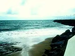
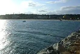
Gallery
|
References
- ↑ IBGE 2020
- ↑ "Archived copy" (PDF). United Nations Development Programme (UNDP). Archived from the original (PDF) on July 8, 2014. Retrieved August 1, 2013.
{{cite web}}: CS1 maint: archived copy as title (link) - ↑ Monumento Natural Municipal Falésias de Marataízes (in Portuguese), MERCOSUR, archived from the original on 2016-10-24, retrieved 2016-10-24
Capital: Vitória | ||||||||||
| Mesoregion Central |
|  | ||||||||
| Mesoregion Litoral Norte |
| |||||||||
| Mesoregion Noroeste |
| |||||||||
| Mesoregion Sul |
| |||||||||
This article is issued from Wikipedia. The text is licensed under Creative Commons - Attribution - Sharealike. Additional terms may apply for the media files.