Guapi Airport Juan Casiano Airport | |||||||||||
|---|---|---|---|---|---|---|---|---|---|---|---|
| Summary | |||||||||||
| Airport type | Public | ||||||||||
| Operator | Aerocivil | ||||||||||
| Serves | Guapi, Colombia | ||||||||||
| Elevation AMSL | 32 ft / 10 m | ||||||||||
| Coordinates | 2°34′15″N 77°53′52″W / 2.57083°N 77.89778°W | ||||||||||
| Map | |||||||||||
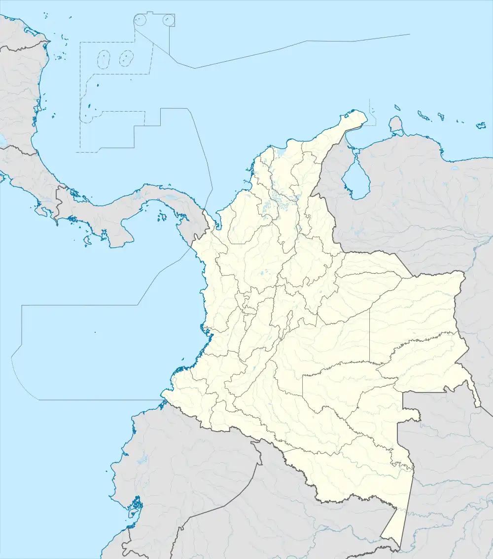 GPI Location of airport in Colombia | |||||||||||
| Runways | |||||||||||
| |||||||||||
Guapi Airport (IATA: GPI, ICAO: SKGP), also known as Juan Casiano Airport (Spanish: Aeropuerto "Juan Casiano Solis" de Guapi) is an airport serving Guapi, a municipality in the Cauca Department of Colombia.
The Guapi non-directional beacon (Ident: GPI) is located on the field.[4]
Airlines and destinations
| Airlines | Destinations |
|---|---|
| SATENA | Cali |
See also
References
- ↑ Airport information for Guapi Airport (SKGP / GPI) at Great Circle Mapper.
- ↑ "Airport information for Juan Casiano Airport (SKGP)". World Aero Data. Archived from the original on 2019-03-05.
{{cite web}}: CS1 maint: unfit URL (link) Data current as of October 2006. Source: DAFIF. - ↑ Google Maps - Guapi
- ↑ SkyVector Guapi NDB
External links
- OpenStreetMap - Guapi
- OurAirports - Guapi
- FallingRain - Guapi Airport
- Accident history for Guapi Airport (SKGP / GPI) at Aviation Safety Network
- Current weather for SKGP at NOAA/NWS
This article is issued from Wikipedia. The text is licensed under Creative Commons - Attribution - Sharealike. Additional terms may apply for the media files.