| Guarajambala River | |
|---|---|
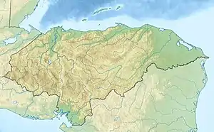 Location of mouth | |
| Location | |
| Country | Honduras |
| Physical characteristics | |
| Mouth | Lempa River |
• coordinates | 13°57′55″N 88°29′57″W / 13.9653°N 88.4993°W |
See also
References
- ↑ "Guarajambala River". GeoNames. Retrieved July 25, 2021.
- Rand McNally, The New International Atlas, 1993.
- CIA map: Image:Honduras rel 1985.jpg
- UN map: Image:Un-honduras.png
This article is issued from Wikipedia. The text is licensed under Creative Commons - Attribution - Sharealike. Additional terms may apply for the media files.