| Gurley New South Wales | |
|---|---|
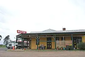 Royal Hotel at Gurley | |
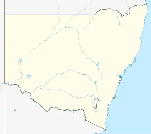  Gurley | |
| Coordinates | 29°44′S 149°48′E / 29.733°S 149.800°E |
| Population | 236 (2016 census)[1] |
| Postcode(s) | 2398 |
| Location | |
| LGA(s) | Moree Plains Shire |
| State electorate(s) | Northern Tablelands |
| Federal division(s) | Parkes |
Gurley is a small town in the northwest of New South Wales, Australia between Narrabri and Moree. The Newell Highway and the North-West railway line pass through the township. A now-closed railway station opened in 1897.[2]
Gurley Siding Post Office opened on 16 March 1898 and was renamed Gurley in 1917.[3]
Gurley railway station
| Preceding station | Former Services | Following station | ||
|---|---|---|---|---|
| Moree towards Mungindi |
Mungindi Line | Bellata towards Werris Creek | ||
References
- ↑ Australian Bureau of Statistics (27 June 2017). "Gurley (State Suburb)". 2016 Census QuickStats. Retrieved 21 March 2018.
- ↑ Gurley station. NSWrail.net, accessed 3 September 2009.
- ↑ Phoenix Auctions History. "Post Office List". Phoenix Auctions. Retrieved 19 March 2021.
This article is issued from Wikipedia. The text is licensed under Creative Commons - Attribution - Sharealike. Additional terms may apply for the media files.