Gutleutviertel | |
|---|---|
Location of the Gutleutviertel (red) and the Ortsbezirk Innenstadt I (light red) within Frankfurt am Main 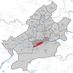 | |
 Gutleutviertel 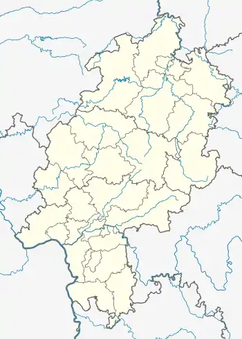 Gutleutviertel | |
| Coordinates: 50°06′06″N 08°39′34″E / 50.10167°N 8.65944°E | |
| Country | Germany |
| State | Hesse |
| Admin. region | Darmstadt |
| District | Urban district |
| City | Frankfurt am Main |
| Area | |
| • Total | 2.257 km2 (0.871 sq mi) |
| Population (2020-12-31)[1] | |
| • Total | 6,786 |
| • Density | 3,000/km2 (7,800/sq mi) |
| Time zone | UTC+01:00 (CET) |
| • Summer (DST) | UTC+02:00 (CEST) |
| Postal codes | 60327, 60329 |
| Dialling codes | 069 |
| Vehicle registration | F |
| Website | www.gutleutviertel.de |
The Gutleutviertel is a quarter of Frankfurt am Main, Germany. It is part of the Ortsbezirk Innenstadt I.
The name Gutleut originates from the "Gutleuthof", once a refuge for lepers hosted by the "fraternity of the good people".
The former working class district has spruced up considerably in recent years with the development of a new housing and business district at the former West Harbor.
References
- ↑ "Frankfurt Statsitik Aktuell 07/2021". Stadt Frankfurt am Main. July 2021.

This article is issued from Wikipedia. The text is licensed under Creative Commons - Attribution - Sharealike. Additional terms may apply for the media files.