Hacılar | |
|---|---|
District and municipality | |
 Road to Hacılar | |
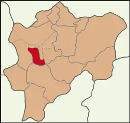 Map showing Hacılar District in Kayseri Province | |
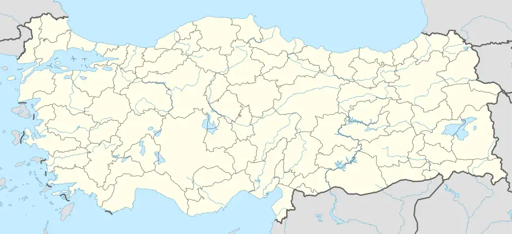 Hacılar Location in Turkey 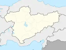 Hacılar Hacılar (Turkey Central Anatolia) | |
| Coordinates: 38°38′59″N 35°27′01″E / 38.64972°N 35.45028°E | |
| Country | Turkey |
| Province | Kayseri |
| Government | |
| • Mayor | Bilal Özdoğan (AKP) |
| Area | 187 km2 (72 sq mi) |
| Population (2022)[1] | 12,465 |
| • Density | 67/km2 (170/sq mi) |
| Time zone | TRT (UTC+3) |
| Area code | 0352 |
| Website | www |
Hacılar is a municipality and district of Kayseri Province, Turkey.[2] Its area is 187 km2,[3] and its population is 12,465 (2022).[1] The mayor is Bilal Özdoğan (AKP).
Composition
There are 12 neighbourhoods in Hacılar District:[4]
- Akdam
- Akyazı
- Aşağı
- Beğendik
- Erciyes
- Hürmetçi
- Karpuzsekisi
- Orta
- Sakarçiftliğiköyü
- Yediağaç
- Yeni
- Yukarı
References
- 1 2 "Address-based population registration system (ADNKS) results dated 31 December 2022, Favorite Reports" (XLS). TÜİK. Retrieved 19 September 2023.
- ↑ Büyükşehir İlçe Belediyesi, Turkey Civil Administration Departments Inventory. Retrieved 19 September 2023.
- ↑ "İl ve İlçe Yüz ölçümleri". General Directorate of Mapping. Retrieved 19 September 2023.
- ↑ Mahalle, Turkey Civil Administration Departments Inventory. Retrieved 19 September 2023.
Hacılar in Kayseri Province of Turkey | |||||||||||||||||||||||||||
|---|---|---|---|---|---|---|---|---|---|---|---|---|---|---|---|---|---|---|---|---|---|---|---|---|---|---|---|
| Districts |  Districts of Kayseri | ||||||||||||||||||||||||||
| |||||||||||||||||||||||||||
Metropolitan municipalities are bolded. | |||||||||||||||||||||||||||
This article is issued from Wikipedia. The text is licensed under Creative Commons - Attribution - Sharealike. Additional terms may apply for the media files.