Haider Khel
حیدر خیل | |
|---|---|
Village | |
_(14578100917).jpg.webp) Tochi Valley in 1912 | |
 Haider Khel 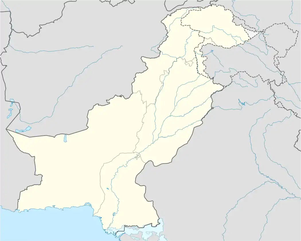 Haider Khel | |
| Coordinates: 32°56′42″N 70°17′46″E / 32.9449°N 70.2960°E | |
| Country | |
| Territory | |
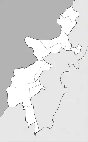
| District | North Waziristan |
| Tehsil | Mir Ali |
| Founded | 1910 |
| Founded by | Haji Mir Zali Khan |
| Government | |
| • Councillor | Malik Muhammad Noor Khan |
| • Mayor | Muhammad Rafiq Nasar Khel |
| Elevation | 460 m (1,510 ft) |
| Population | |
| • Total | 10,001 |
| Time zone | UTC+5 (PST) |
| Postal code | 28191 |
| Area code | 0092-928 |
Haider Khel is a village in North Waziristan, Pakistan, 50 kilometres (30 miles) to the east of Bannu, lying close to the border with Afghanistan.[2] Its inhabitants are mainly Pashtun-speaking Dawaris[3][4]
History
Haider Khel was founded in 1910, by Haji Mirzali Khan.
In 1896, during the Tochi Expedition, the British set up a military post in the village as part of its defences against raids from the Waziris.[5]
References
- ↑ "Population and Household Detail From Block to District Level: FATA (North Waziristan)" (PDF). www.pbscensus.gov.pk. 3 January 2018. Retrieved 2 April 2018.
- ↑ "Maps, Weather, and Airports for Haider Khel, Pakistan". www.fallingrain.com.
- ↑ Haider Khel. Federally administered tribal areas. Pakistan geonip.com
- ↑ Haider Khel tribune.com.pk
- ↑ Nevill, Hugh Lewis (1912). Campaigns on the North-West Frontier (New ed.). [S.l.]: The Naval and Military Press. p. 213. ISBN 1845741870. Retrieved 20 December 2015.
This article is issued from Wikipedia. The text is licensed under Creative Commons - Attribution - Sharealike. Additional terms may apply for the media files.