| Hallenbeck Hill | |
|---|---|
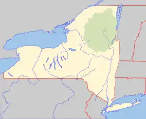 Hallenbeck Hill Location of Hallenbeck Hill within New York  Hallenbeck Hill Hallenbeck Hill (the United States) | |
| Highest point | |
| Elevation | 302 feet (92 m) |
| Coordinates | 42°16′17″N 73°49′56″W / 42.2714756°N 73.8323492°W[1] |
| Geography | |
| Location | SE of West Athens, New York, U.S. |
| Topo map | USGS Hudson North |
Hallenbeck Hill is a mountain in Greene County, New York. It is located in the Catskill Mountains southeast of West Athens. Potic Mountain is located west-northwest, Kykuit is located southwest, and Flint Mine Hill is located north of Hallenbeck Hill.
References
This article is issued from Wikipedia. The text is licensed under Creative Commons - Attribution - Sharealike. Additional terms may apply for the media files.