| Halton | |
|---|---|
_-_geograph.org.uk_-_1038508.jpg.webp) Halton Castle | |
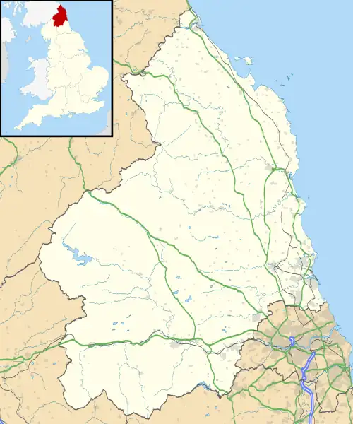 Halton Location within Northumberland | |
| OS grid reference | NY997677 |
| Civil parish |
|
| Unitary authority | |
| Ceremonial county | |
| Region | |
| Country | England |
| Sovereign state | United Kingdom |
| Post town | CORBRIDGE |
| Postcode district | NE45 |
| Dialling code | 01434 |
| Police | Northumbria |
| Fire | Northumberland |
| Ambulance | North East |
| UK Parliament | |
Halton is a village and former civil parish, now in the parish of Whittington, in the southern part of Northumberland, England. It is situated 3 miles (4.8 km) north of Corbridge just south of Hadrian's Wall. In 1951 the parish had a population of 24.[1]
Halton Castle is a pele tower and grade I listed building.
Governance
Halton was formerly a township and chapelry in Corbridge parish,[2] from 1866 Halton was a civil parish in its own right until it was abolished on 1 April 1955 to form Whittington.[3]
References
- ↑ "Population statistics Halton Tn/CP through time". A Vision of Britain through Time. Retrieved 23 January 2022.
- ↑ "History of Halton, in Tynedale and Northumberland". A Vision of Britain through Time. Retrieved 23 January 2022.
- ↑ "Relationships and changes Halton Tn/CP through time". A Vision of Britain through Time. Retrieved 15 January 2022.
External links
- GENUKI (Accessed: 27 November 2008)
Wikimedia Commons has media related to Halton, Northumberland.
This article is issued from Wikipedia. The text is licensed under Creative Commons - Attribution - Sharealike. Additional terms may apply for the media files.