Al-Hamamiyat
الحماميات | |
|---|---|
Village | |
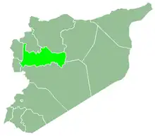
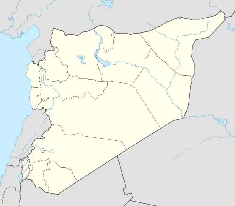 Al-Hamamiyat Location in Syria | |
| Coordinates: 35°23′N 36°32′E / 35.383°N 36.533°E | |
| Country | |
| Governorate | Hama |
| District | Mahardah |
| Subdistrict | Kafr Zita |
| Elevation | 255 m (837 ft) |
| Population (2004) | |
| • Total | 1,305 |
| Time zone | UTC+2 (EET) |
| • Summer (DST) | UTC+3 (EEST) |
| City Qrya Pcode | C3459 |
Al-Hamamiyat (Arabic: الحماميات) is a Syrian village located in the Kafr Zita Subdistrict of the Mahardah District in Hama Governorate. According to the Syria Central Bureau of Statistics (CBS), al-Hamamiyat had a population of 1,305 in the 2004 census.[1] It is situated at 255 metres above sea level.[2]
References
- ↑ "General Census of Population 2004". Retrieved 2014-07-10.
- ↑ "Detailed maps & routes to explore across the UK | OS Maps". explore.osmaps.com. Retrieved 2022-11-13.

This article is issued from Wikipedia. The text is licensed under Creative Commons - Attribution - Sharealike. Additional terms may apply for the media files.